Aerial photos with Passenger Pigeon
Passenger Pigeon is a project/concept for collecting aerial imagery from passenger plane windows with handheld digital cameras. To make a map, just take photos out the window of your commercial flight. Then use the free and open source MapKnitter.org to align the images with a map as soon as you land.
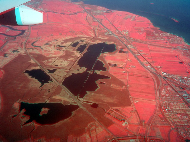
( Above, NRG composite from out the window of airplane over Amsterdam, by @warren)
Examples
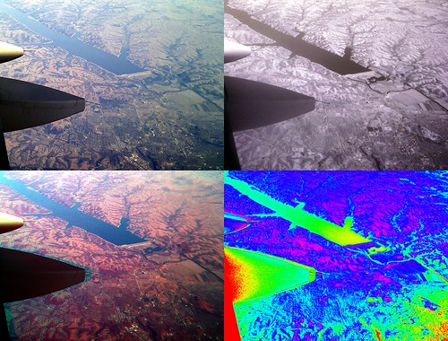
- Utah (shown below): http://publiclab.org/notes/eustatic/5-10-2012/hills-have-acne-passenger-pigeon-photos-drill-sites-out-west
- Manhattan/Brooklyn: https://mapknitter.org/map/view/newtown-creek-docsearls
Tips for photographers
- point the camera as straight downwards as possible
- hold the camera as stably as you can - brace it against the window
- try not to sit behind the wing, where the engine exhaust blurs the air
- take note of where the photos are, if you anticipate difficulty in placing them on a map later
- check flight-tracking websites ahead of time to plan when you'll be able to take good photos (possibly during landing or takeoff, if you're allowed to use your camera)
- Record with your gps (in your smart phone) the gpx track. YOu can use it later to geotag the images. GPS should be near the window, otherwise it will not work.
Questions
| Title | Author | Updated | Likes | Comments |
|---|---|---|---|---|
| Nothing yet on the topic "passenger-pigeon" -- be the first to post something! |
Activities
| Purpose | Category | Status | Author | Time | Difficulty | Replications |
|---|---|---|---|---|---|---|
| Infragram test photos from a plane window | - | - | @warren | - | - | 0 replications: Try it » |
| Flightstats.com for Passenger Pigeon | - | - | @mathew | - | - | 0 replications: Try it » |
| Passenger Pigeon methods: getting your location, the hacky way | - | - | @eustatic | - | - | 0 replications: Try it » |
Activities should include a materials list, costs and a step-by-step guide to construction with photos. Learn what makes a good activity here.
Maps
Advanced
Some Public Lab folks have done multispectral imaging from a plane window -- see the near-infrared camera page for details on how to collect/produce infrared imagery with less than $150 of equipment.
