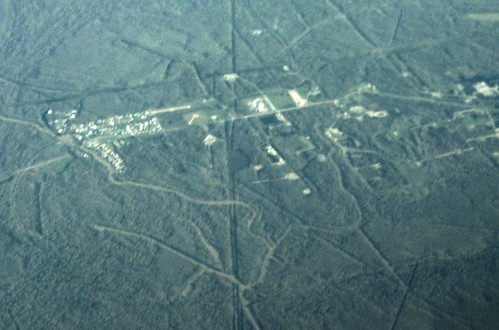
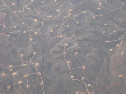
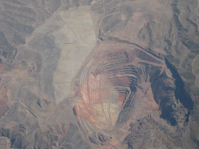
MSY to PHX
hazy conditions
Canon A495
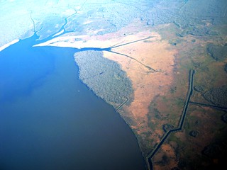
Lac des Allemands
Pierre Part, Site of Sinkhole
West...
Public Lab is an open community which collaboratively develops accessible, open source, Do-It-Yourself technologies for investigating local environmental health and justice issues.
Will try to get to them soonish. I was also thinking we could call out on the grassroots mapping list. More people should be aware that you can get great pictures this way!
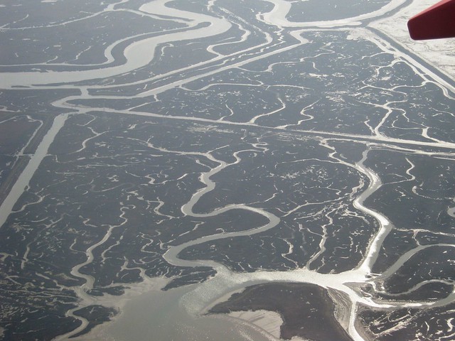
~5 meter resolution, not great, but OK. Next time press the flight attendant button and ask them to dip a little lower to the ground and bank to the right... :-)
Public Lab is open for anyone and will always be free. By signing up you'll join a diverse group of community researchers and tap into a lot of grassroots expertise.

5 Comments
Hey Scott- - any interest in having these in webviewer or geotiff? I'd be happy to take a crack at MapKnitting them.
Is this a question? Click here to post it to the Questions page.
Reply to this comment...
Log in to comment
yeah, first step is to just sort through the good ones and put them on flickr with the general locations,
thanks jeff
Reply to this comment...
Log in to comment
oh, i misread--do you want to do them up?
awesome! i put the lac des allemands in the mapmill dropbox
There's only two pictures of the sinkhole area, so the center of the sinkhole is around
30° 0'38.70"N, 91° 8'35.43"W
Is this a question? Click here to post it to the Questions page.
Reply to this comment...
Log in to comment
Will try to get to them soonish. I was also thinking we could call out on the grassroots mapping list. More people should be aware that you can get great pictures this way!
Reply to this comment...
Log in to comment
I started a map here: https://mapknitter.org/map/view/sinkhole-passenger-pigeon
~5 meter resolution, not great, but OK. Next time press the flight attendant button and ask them to dip a little lower to the ground and bank to the right... :-)
Reply to this comment...
Log in to comment
Login to comment.