Leaflet Environmental Layers
This is a revision from September 04, 2018 17:27.
View all revisions
Leaflet Environmental Layers is a plugin for the Leaflet web mapping library, which makes it possible to view many different sources of environmental data on a single unified map.
The code on GitHub, including how to install it: https://github.com/publiclab/leaflet-environmental-layers/
Layers
- Purple Air sensor map
- MapKnitter.org maps
- Toxic Release Inventory (TRI) data
- Frac Tracker data
- Water Reporter data
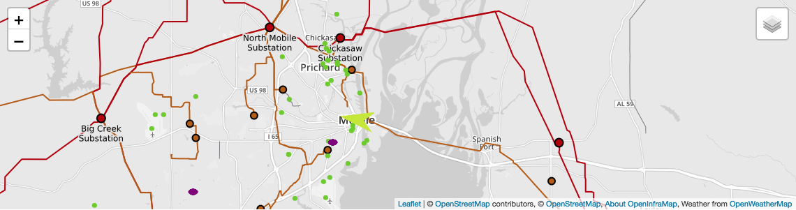
- OpenInfraMap - petroleum, water, power infrastructure
- Weather/wind data
- JusticeMap demographic (race/ethnicity, income) data
- OdorLog.com community odor reporting data
- SkyTruth Alerts environmental issue data
To request a new layer, please ask a question below!
Existing layer requests are here: https://github.com/publiclab/leaflet-environmental-layers/labels/new-layer
Questions
| Title | Author | Updated | Likes | Comments |
|---|---|---|---|---|
| What do we know about EPA National Emissions Inventory (NEI) data? | @warren | over 6 years ago | 1 | 0 |
| What more data-layers can we show on map ? | @sagarpreet | over 6 years ago | 1 | 19 |
Activities
| Purpose | Category | Status | Author | Time | Difficulty | Replications |
|---|---|---|---|---|---|---|
| Nothing yet on the topic "leaflet-environmental-layers" -- be the first to post something! |
Activities should include a materials list, costs and a step-by-step guide to construction with photos. Learn what makes a good activity here.
Updates
| Title | Author | Updated | Likes | Comments |
|---|---|---|---|---|
| GSoC 2021: Geographic Features Refinement - Final Report | @barun1024 | over 3 years ago | 5 | 4 |
| Introducing new inline LEL power tags | @sagarpreet | about 5 years ago | 3 | 2 |
| New Features in Leaflet-Environmental Layers Library | @sagarpreet | about 6 years ago | 3 | 5 |
| Leaflet Environmental Layer Library - Part 2 | @sagarpreet | over 6 years ago | 2 | 8 |
| Leaflet Environmental Layers Library | @sagarpreet | over 6 years ago | 9 | 21 |