handheld GPS and phone GPS often does not work during commercial flights. Here are some ideas of how to get your location at a given time, to assist with Passenger Pigeon mapping.
- Camera timestamp
Make sure the time stamp on your camera is on, and set at a correct time. keep in mind the changing time zones.
- Tracking via other methods
on southwest flights, you can use your browser to the flight tracker homepage [MSY to PHX pictured]
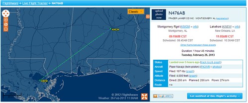
alternatively, you can use a site like flightaware to track your flight.
http://flightaware.com/live/airport/KNEW
(my favorite airport)
flightaware also keeps some flight path records. http://flightaware.com/live/flight/N476AB/history/20130226/1445Z/KMGM/KNEW/tracklog
these tracklogs have altitude data that may come in handy.
- Relate! relate the time stamp on your photo to the approximate location on the tracker map. you'll probably have to use features in the photo, like rivers, mountains, or roads, to get a precise location.

0 Comments
Login to comment.