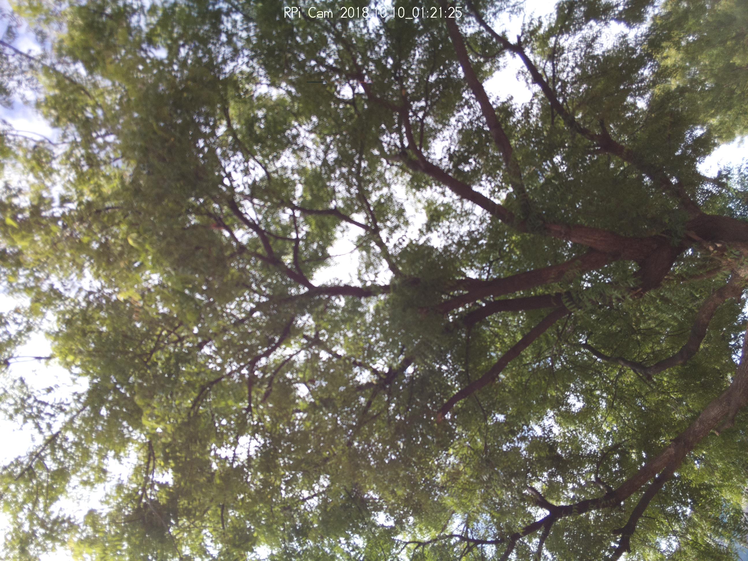
Shows the Plastics or Garbage Dump in vegetation area where plants can be grown. If the dump is cleared, it increases the groundwater level thereby good for plants like shown the set of new images with Tree cover.
https://mapknitter.org/embed/grab-age
Please refer to my first UI Evaluation post (https://publiclab.org/notes/silentsairam/05-07-2019/map-knitter-ui-test-ballon-mapping-test) here where I encountered some challenges with Mapknitter.
As usual, Mapknitter is a good tool for Aerial Mapping & knowing exact about the specified location with photos to solve environmental issues.
Login to Mapknitter:
1. Pretty easier than before. Use any of Social media or Gmail accounts else Login with own username & password.
2. The Left pane
- Create a Map-- Pretty simple and one click lands to Mapknitter page to create a Map.
- Community Microscope kits-- Not sure of the presence here.
- Regions- Only 2 regions are shown here.
- Recent authors-- Some seem to Anonymous.
- Statistics - Repeated measurements(resolutions). It would be nice to have Real-time statistics.

Creating Map:
Please find the Youtube Video here: https://youtu.be/o8pWtqvx34M
- It takes more time than usual to Locate the Coordinates or Name in the Map. Succeeded in a third attempt only.
- The Pop-up window to upload Images is handy.
Uploading Images:
Please find the Youtube Video here: https://youtu.be/JqeLrhZMvL4
- Uploading one image after another is pretty easier.
- It could be easier if the Multi-image selection option is available to upload a set of images in one go.
- Also, If I resize or delete the Image again I need to select the image from folder and upload. It takes more time. Could be helpful if the image stays in the Map page itself.
Operations on the Uploaded Aerial Images:
Please find the Youtube video here: https://youtu.be/X9SBKcydoqE
1. While uploading the image, the message to Place the image on Map is obvious else the image gets unselected.
2. Post uploading, various operations like auto scale, Transparent, Rotate can be performed on the image. To do this,
- Click on the Image. You will find options in a rectangular bar as stated here. Various features are mentioned here.
- Toggle Image Transparency- makes the image transparent
- Delete Image - Deletes the selected Image. Even if the image is resized and deleted, the image gets deled easily.
- Toggle Image Outline - Outlines the image
- Lock/Unlock editing - Great feature to save our images from accidental deleting or keeping it safe from other editors.
X denotes the image is locked. The blue square on the image denotes unlocked.
- Rotate Scale: Rotate the image to position it exactly on the location (Subject to certain limiations)
- Export Image, Export EXIF is in progress.
- Change order modifies the order of images from uploading. Does not impact much.
Overview and views on the right pane of Mapknitter: **
**
Other options on Right pane of Mapknitter:
****Please find the Youtube video for reference: ****https://youtu.be/A96VpMmrxeE
 **
**
1. Delete and Add Border Options on the list of operations( rectangular box) on Images are interchanged.
2. Not sure of Embed Code feature. I modified the Width and height of Frame but could not save or see the changes.
3. Tags are a good feature to have. If I click on the respective Tags, it takes me to old Mapknitter interface page with a list of maps under respective tags. I will add more maps on the same Tags and test.
Constraints & Good features:
1. More white space below the page while uploading the images or placing the images in exact lat-long.

2. Easier to switch between OSM and Google satellite. Add other Markers if feasible.
3. Adding sectors/ sections/color codes or Leaflet with multiple Marker Pin symbols in the Images for multiple locations Aerial mapping in single Map.
4. Open street map option not showing the street names.

5. Use of KML or import MyMaps as a feature if already mapped multiple locations. Having multiple locations in the same map is good to have as to View all issues under Single map.
6. The number of pages on the Main page of Mapknitte is 12345...304305(space between numbers would be helpful ) like in Public Lab page.
Mapknitter has everything in place, it is a great tool for taking immediate action on environmental and civic issues with images as proof(deforestation, lake dry up, Garbage, Air pollution smoke, Drainage, etc) and with the more fine tune it could be Map for DIY Environmental Science which students and all stakeholders will use and take decisions based on the information here. Till then I will keep Mapping across locations with people and Solve issues.
Will soon update on,
- The hardware part of Mapknitter(RPI and Camera)
- Interaction experience with School and College Students in Mapping places.
- Markdown pages and usefulness in Publishing the work.
Special mention to warren , stevie , molangmuir10 for their constant support, fun, and learning. Of course the Timezones & calls ; -P
5 Comments
Hi! Thanks so much! I'm making a special tag for #community-atlas-ui for this and @molangmuir10's UI input posts. Also, I just made these issues based on your ideas from the call with @stevie and I!
Thanks again!
Reply to this comment...
Log in to comment
Hi Sairam- these videos are really helpful, thank you so much. Do you think you could try embedding them into your post? I didn't see an "embed" option on your YouTube so I think you may need to "allow" it, or maybe just you can do it? Thank you!
Is this a question? Click here to post it to the Questions page.
Hi Warren. I just added YouTube Videos with Embed code option.
Also added points on "Other options on Mapknitter, Edit Details, Delete Map, Embed code, Image sequencer code, Tags" in the Post alongside a video. Thank you for this!
Reply to this comment...
Log in to comment
Hi Warren. I guess with the changes to the new version of Mapknitter, the operations on Images have been modified.
Sharing the photo and video link (https://youtu.be/A96VpMmrxeE ) for reference. Also added the same under "Other options in Mapknitter" to the above post.
Is this a question? Click here to post it to the Questions page.
Reply to this comment...
Log in to comment
@stevie awards a barnstar to silentsairam for their awesome contribution!
Reply to this comment...
Log in to comment
Login to comment.