
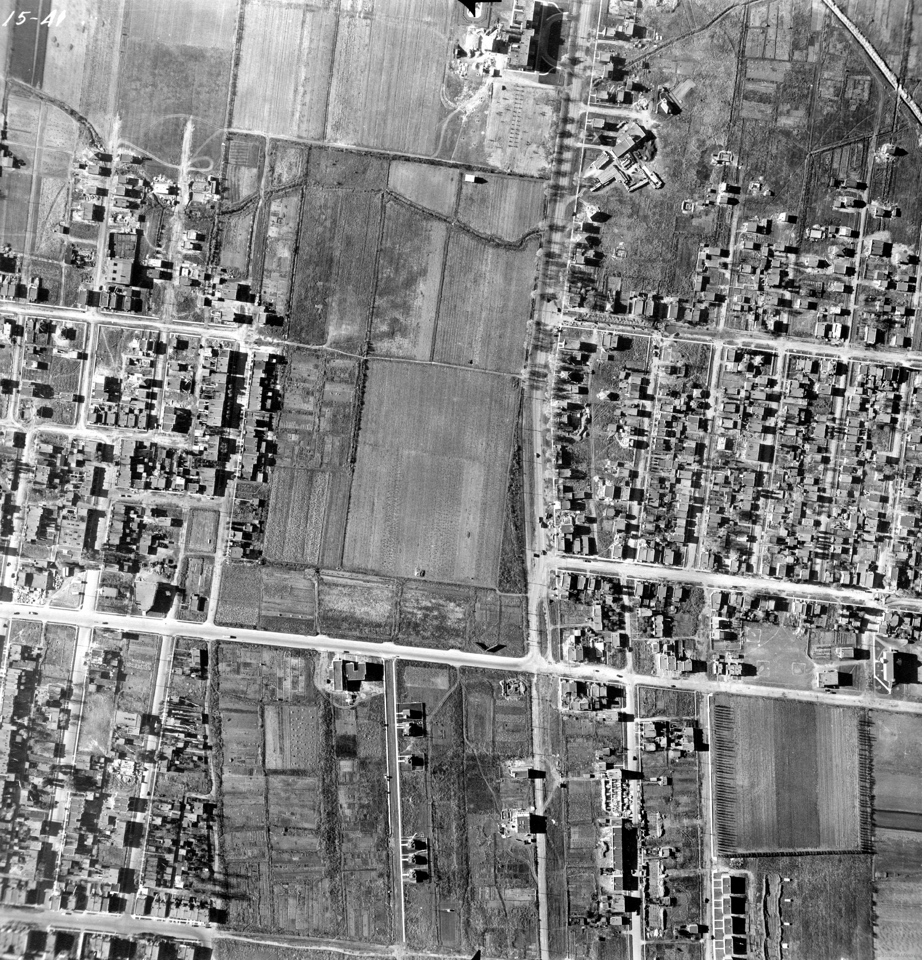
An assembly of 20 Montreal aerial photos from 1947 provide a snapshot of the city's Rosemount district at that time. The area was on the verge of a massive residential building boom that swept over farmland and restored quarried areas.
See the assembled photos at https://mapknitter.org/maps/rosemont-1947# .
The 1947 landscape includes vast agricultural spaces north of Rosemont Boulevard and east of 6th Avenue. These were quickly supplanted by residential streets built up in the postwar years and into the early sixties.
In 1947 the Angus Shops train maintenance facility still occupied Rosemount's southern end. By 1991, operations ceased there and this land too became a major housing development.
Adjacent to the Angus Shops as elsewhere, several water pools marked the remains of former quarries, most abandoned in the 1920s. The city bought them up in 1935, converting some into garbage dumps. Many later became parks - Parc Marquette, Parc du Pélican, Parc Lafond and part of Parc Maisonneuve and the Botanical Gardens.
The photos are sourced from Montreal's municipal archives (Archives de Montréal), which has 3920 aerial photos spanning the island of Montreal from 1947 to 1949 ( https://archivesdemontreal.ica-atom.org/vues-aeriennes-de-montreal-1947-1949-1947-1949;rad ). The blank areas within the assembled photos appear to be missing from the archived photo set. Assembled photos were drawn from the following series: P11-39 to P11-46; P12-34; P12A-16 to P12A-18; P13-40 to P13-44; P-15-37 to P15-44. (For example, P15-41 is archived at http://archivesdemontreal.com/greffe/vues-aeriennes-archives/jpeg/VM97-3_7P15-41.jpg .)
Assembled by Andrew Plank, Montreal, Québec, Canada - May 29, 2017
0 Comments
Login to comment.