Article by Mary Kenosian for Community Science Forum: Sand-Frac Issue
Mines are hard to map from the air without someone who has detailed local knowledge. From the ground, you can hardly see them behind the berms. The distinguishing features in the air are much, much different than the ground reality. From the road, the view gives no idea of the vast area of gouged out earth.
The first photo was captured in a flight I did back in June, 2012 with Kenny Schmitt, a local farmer who knows the land in Chippewa County thoroughly. This is the Howard mine that at the time was owned by EOG. We went over the photos together afterwards to identify them, and figure out the point of view. This photos is of the mine facing NW. What this photo doesn’t capture is the depth of this mine, it has at least a 75’ relief.
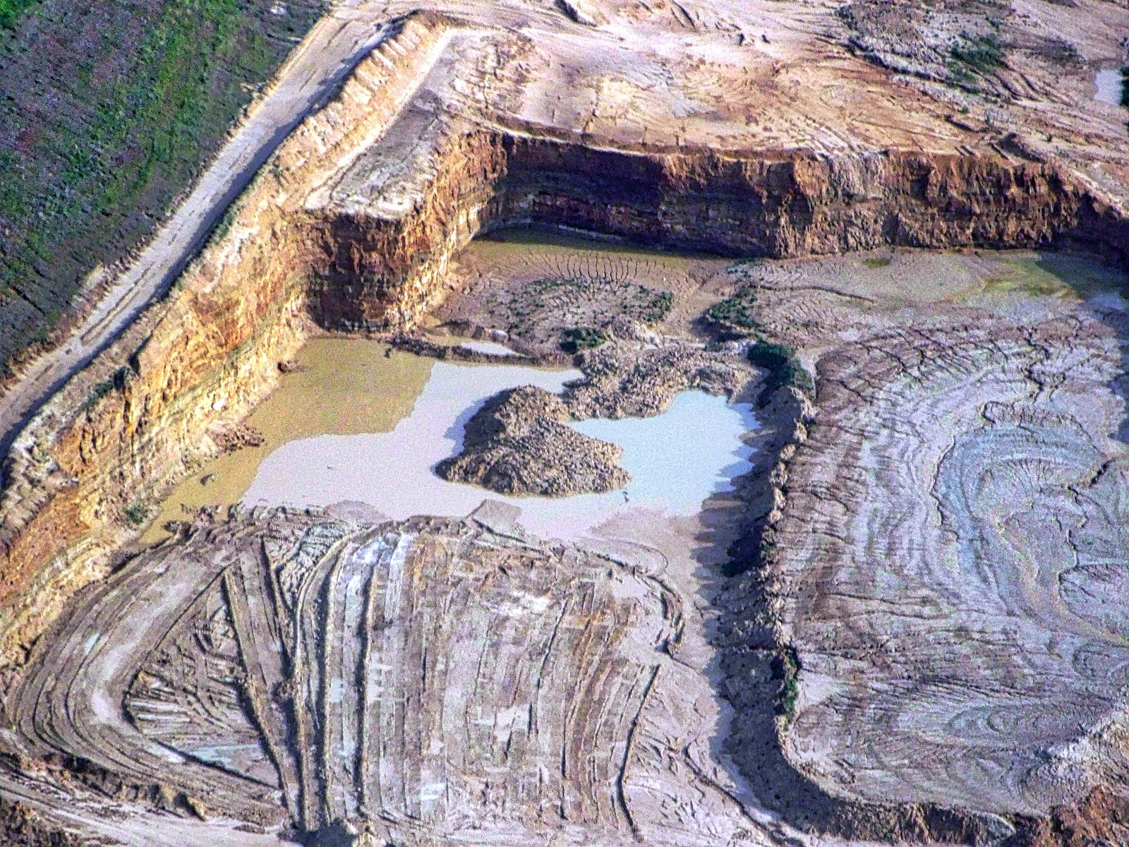
This photo is from August, 2013, of the Badger Mine in Blair, Trempealeau County WI. Paul Winey, another local resident who knows the area well, joined me on this flight. He had a list of mines with GPS coordinates on a spreadsheet. I relied on his identification, double-checking with Google Earth. We synchronized time, and he recorded which minutes were over which mine. Using his chronology, I matched the photo time in the EXIF data with the mine. The Badger Mine is a huge amoeba shape with many pseudopods, each leveling a hill in excess of 1000’ elevation. I checked that on Google terrain from google maps.

_Image from June, 2012 with Kenny Schmitt. _

Image captured on August, 2013, of the Badger Mine in Blair.
0 Comments
Login to comment.