I am one of the students that was a part of Derek Hoeferlin's Public Lab: River Rat Pack class. I was in charge of creating the large map shown in one of the photos with another fellow student Jess Vanecek. I was also in charge of creating a handful of the large panoramas shown at the top of each of the panels.
Going into the class, I didn’t really have any preconception of the work that we would be producing or the sheer amount of photos we would be eventually processing through. However, as the course progressed, and as we attended more and more sites throughout the St. Louis area, many of the issues that had been brought up in other ecology, biology and architecture classes became abundantly clear. This was primarily evident through seeing different river control measures, and the gradients of vegetation and occupation throughout the city.
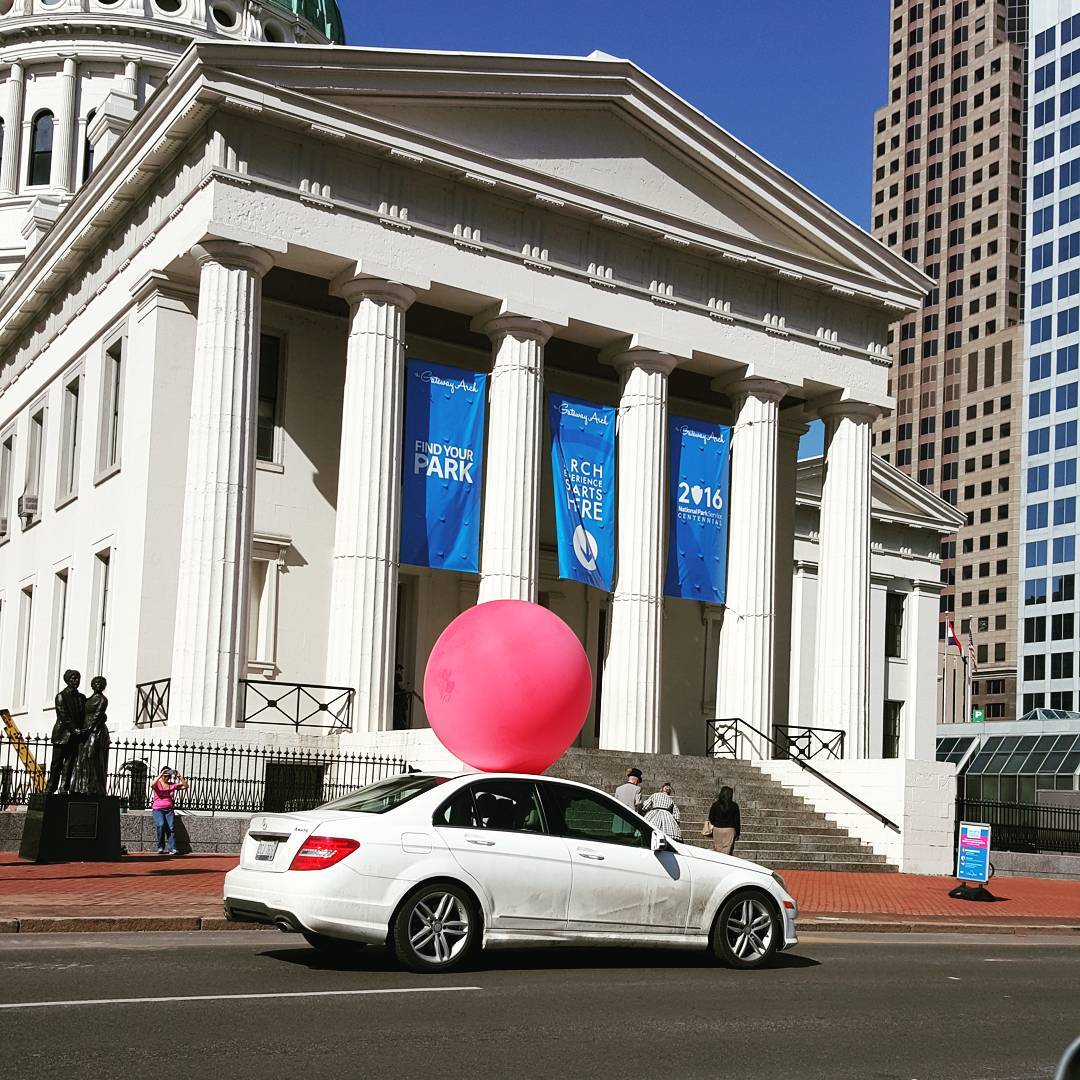
Throughout the semester a deeper appreciation of the usefulness that this DIY aerial mapping could afford surfaced. It was interesting to be able to see the extent and height to which the water crested in the flood events, as well as broadly observe micro-changes in river dynamics on a site-by-site basis. This sort of micro-look at river characteristics and edge conditions is entirely different than something Google Maps or similar provide. This is definitely a new step in the right direction of how, as architecture or landscape architecture students (and even for those in practice) can document their terrain in which they are working within for any given project, as well as the surrounding context, in a non-invasive manner. In addition, the physical act of inflating a balloon in a public space at these sites, generated social interest and amusement. Perhaps this was most evident as we, on a couple separate occasions transported the inflated balloon from one site to another, must to the laughter and bemusing of passers-by.
All-in-all this class afforded a new appreciation of the sites that we visited and the conditions there-of, due to the manner in which we interrogated them. This was possible, because of the nature of the mapping practice itself, i.e. the balloon and rig’s inherent anti-drone and DIY demeanor.


0 Comments
Login to comment.