What I want to do
For the monthly event for organizers, Dan took us out around Picayune. We mapped two sites, the Creosote Plant that has been deemed a superfund site; and a controversial sand drying site on Highway 11.
My attempt and results
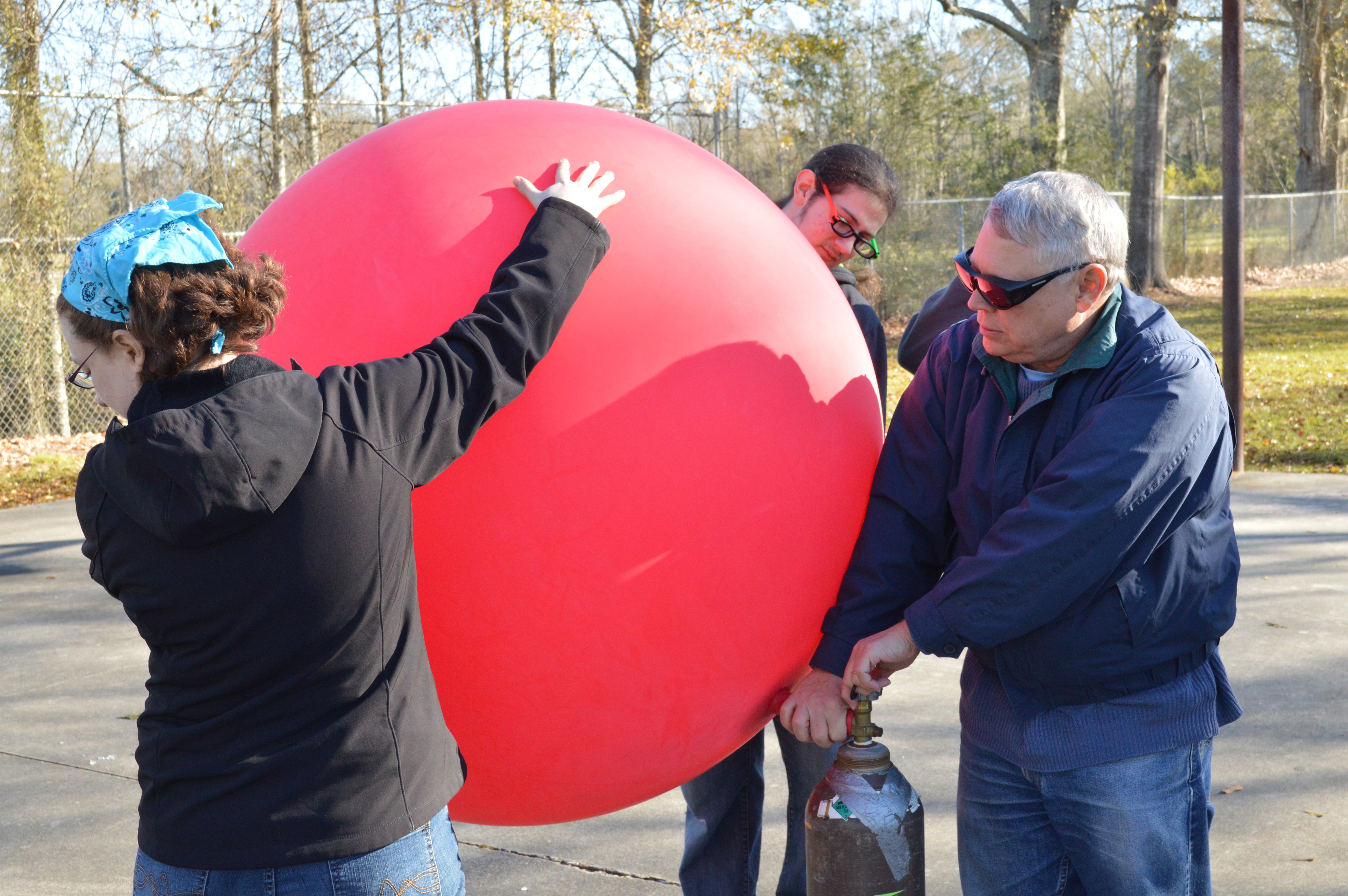
tori, luc, coriander, diana, david, dan B, scott, stevie (and tbear) were out to flly the balloon. David, Scott, Coriander, Stevie, Diana, and Dan B sat around at the PJ's afterward to work in mapknitter. We even got stuck in a charming Picayune carnival parade! woo!
The first attempt flew over the neighborhood, the second attempt was from the north entrance.
Mapknitter Link
sunny and calm, basically perfect weather.
Here are the Drive links
Ground
there were also Chorus Frogs north of the sand drying site, an indication that there's a bit of wetland nearby.
Questions and next steps
Dan's map of the Creosote Plant is here
https://mapknitter.org/embed/picayune-creosote-01162016
Diana and David's map of the Sand Drying Plant is here
Jan 16, 2016 Sand Drying Site in Picayune, MSThe mappers were David, Coriander, Diana, Scott, Stevie, Dan, Luc and Tori
https://mapknitter.org/embed/sand-drying-site
Why I'm interested
I've heard about these sites from residents, but now i have a much better idea of what they are, and who might be affected by them, merely by situating them in a landscape.
1 Comments
Nice results.
Reply to this comment...
Log in to comment
Login to comment.