Aerial images, taken where you need them, when you need them, are powerful tools! Imagine being able to gather your own aerial images and build your own maps. With Public Lab's DIY aerial mapping tools you can!
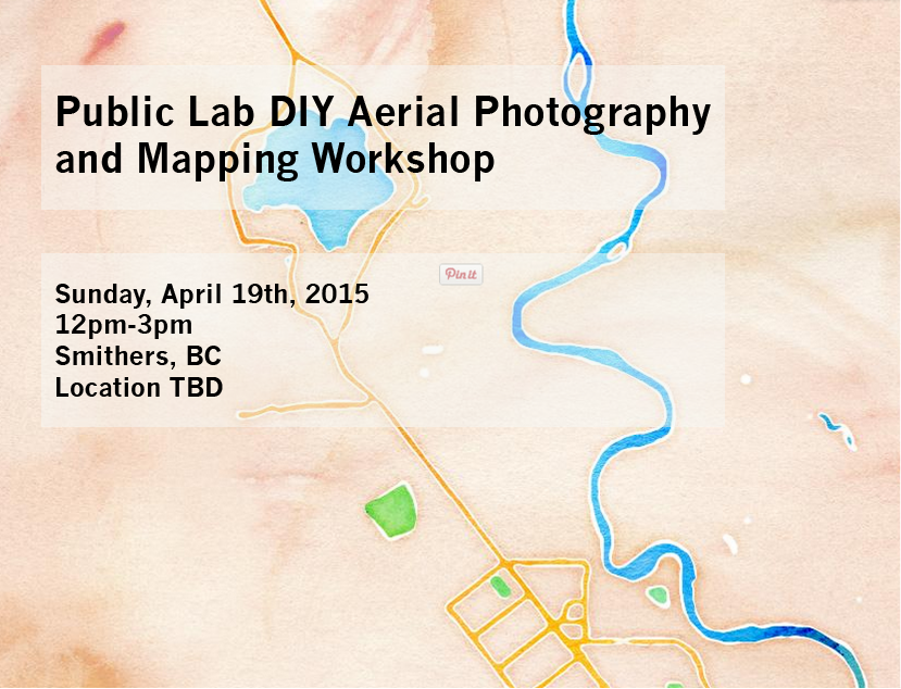
Join Public Lab organizer and Fulbright-Nat Geo researcher Ann Chen on Sunday, April 19th in Smithers, BC.
You Will:
- Learn to collect aerial images using kites.
- Use and explore with the Public Lab Infragram, collecting near-infrared aerial images.
- Build your own maps with images you collect using Public Lab's Open Source mapknitter.org.
Join us:
**Sunday, April 19th, 12pm-3pm, Location: Riverside Park.
What to Bring: (Optional)
- Point and Shoot Camera
- PET plastic juice or soda container, 64 oz or 2 liter plastic bottle
- Kite
- Gardening or work gloves (to protect your hands when handling the kite reel)
Map tiles by Stamen Design, under CC BY 3.0. Data by OpenStreetMap, under CC BY SA
0 Comments
Login to comment.