Summahtime
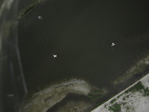
Bright summer day, little wind, but big kite and reel power equals map
big PL kit kite
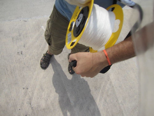
big 3000 reel, churn came in handy
canon 1400is
soda bottle rig
weather data (2 40pm central)
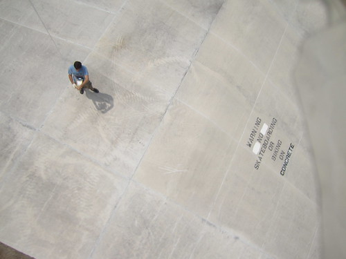
there wasn't a lot of wind. the kite would float downwind slowly when the reel was released, but the reel would slowly grind to a halt. I would then crank the reel a few turns, and hold, until the kite climbed to a point where it would pull the reel to turning once again. kind of like a ratchet system with diminishing returns (and taking up a longer and longer amount of time).
i had wanted to use the line counter to measure the length of string, and use geo cam to get an angle on the kite, but my hands were quite occupied with the action of the reel, and directing the kite in low wind.
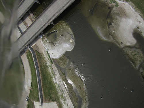
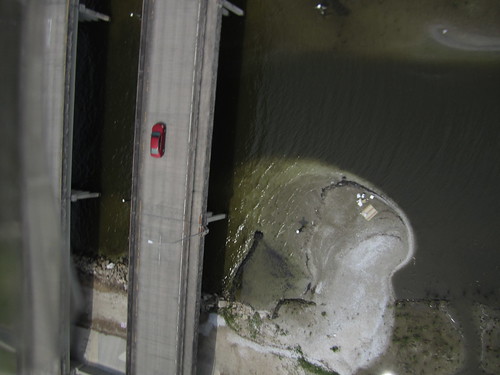
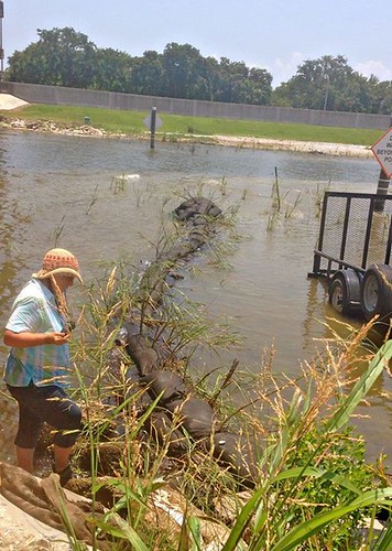
I moved from the levee to a position under the bridge in order to fly the kite into position where the bridge was visible to the camera.
Continue the knit here
https://mapknitter.org/maps/bayou-st-john-sprouting
all good photos https://drive.google.com/folderview?id=0B32DNGN8pX_XZnFoVW4tU09iQVU&usp=sharing
#

ground angle
sky angle
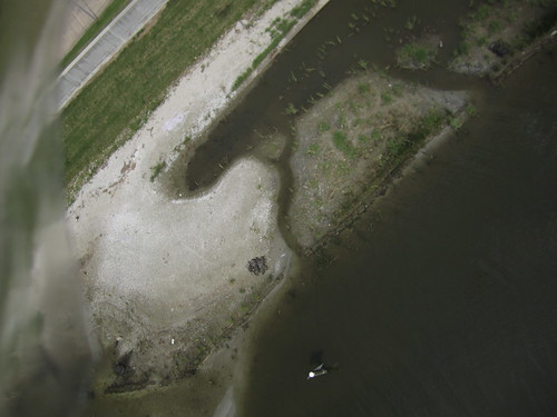
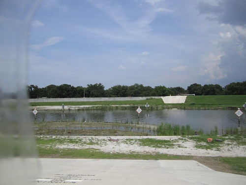
protection berm middle bottom
4 Comments
facebook convos:
Andy Baker Beautiful! This Saturday 6/21 we built the sand bag breakwater in the mid upper left, just below the bridge. These pictures really capture the waves of material washing in from the dredging contractor's surreptitious dumping under the bridge. I think we are going to have to get another day with a bobcat to move around some of the excess that's impacting the wetland. 13 hours ago · Like · 1
Marilyn Eyer So cool to see our breakwater at work so quickly. Thanks Scott!
Reply to this comment...
Log in to comment
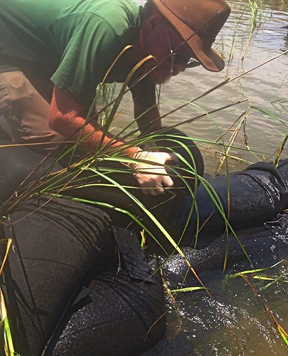
ground photos by Kelly Mueller
Reply to this comment...
Log in to comment
Reply to this comment...
Log in to comment
Reply to this comment...
Log in to comment
Login to comment.