Wetlands Toolkit
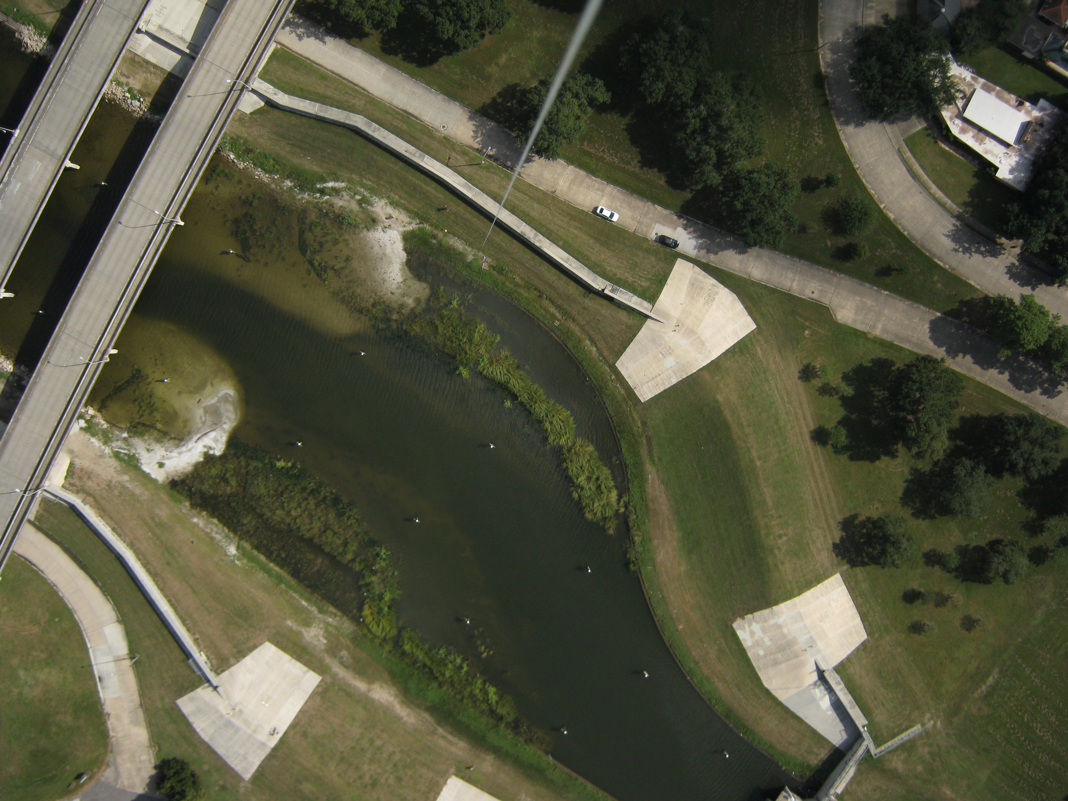
Image: Community mapping of Bayou St. John, New Orleans, LA.
Simple, appropriate technologies for community wetland management
Managing wetlands is easier when communities and organizations can work together with a shared understanding of the science and policy involved. Through the educational, engaging, and empowering activities in this toolkit, community members can learn to more accurately monitor and recommend ways to improve urban wetland projects.
For Who? This toolkit was created for people living near wetlands, as well as for anyone concerned about or advocating for wetland health.
Why? To support people with knowledge, skills, and attitudes, including:
- information on what wetlands do, how wetland health is measured, and what can be gained through restoration efforts.
- hands-on experience with primary research, computer science, map making, and advocacy techniques.
- links between community priorities and environmental management priorities.
When? This toolkit is designed to be deployed as a series of five in-person workshops each lasting around three hours, with an additional curriculum breakout for Louisiana schools. An individual might consider working through the content independently on their own time.
So That… People living near or advocating for wetlands will be equipped to further monitor urban wetland restoration projects and work cooperatively with the organizations conducting restorations to recommend improved management practices.
What For? After going through this toolkit, you / your group will have...
- Written down the collective knowledge of the people in your workshop
- Diagrammed stakeholders to identify who else needs to be involved
- Reached out to not-yet-involved stakeholders in appropriate ways
- Compared types of wetlands
- Reviewed types of data indicative of wetland health
- Identified what questions need to be asked in your wetland of interest
- Specified steps in a research project to address your concern
- Observed wind conditions on site and selected an appropriate aerial mapping method
- Assembled a balloon, kite, or pole mapping kit
- Used equipment to collect aerial imagery
- Stitched aerial images into a map using mapknitter.org
- Read relevant case studies where grassroots data is used for advocacy
- Designed a campaign for using aerial data to communicate wetlands issues
- Implemented a campaign for using aerial data to communicate wetlands issues