Wetlands Toolkit
This is a revision from July 23, 2015 16:36.
View all revisions
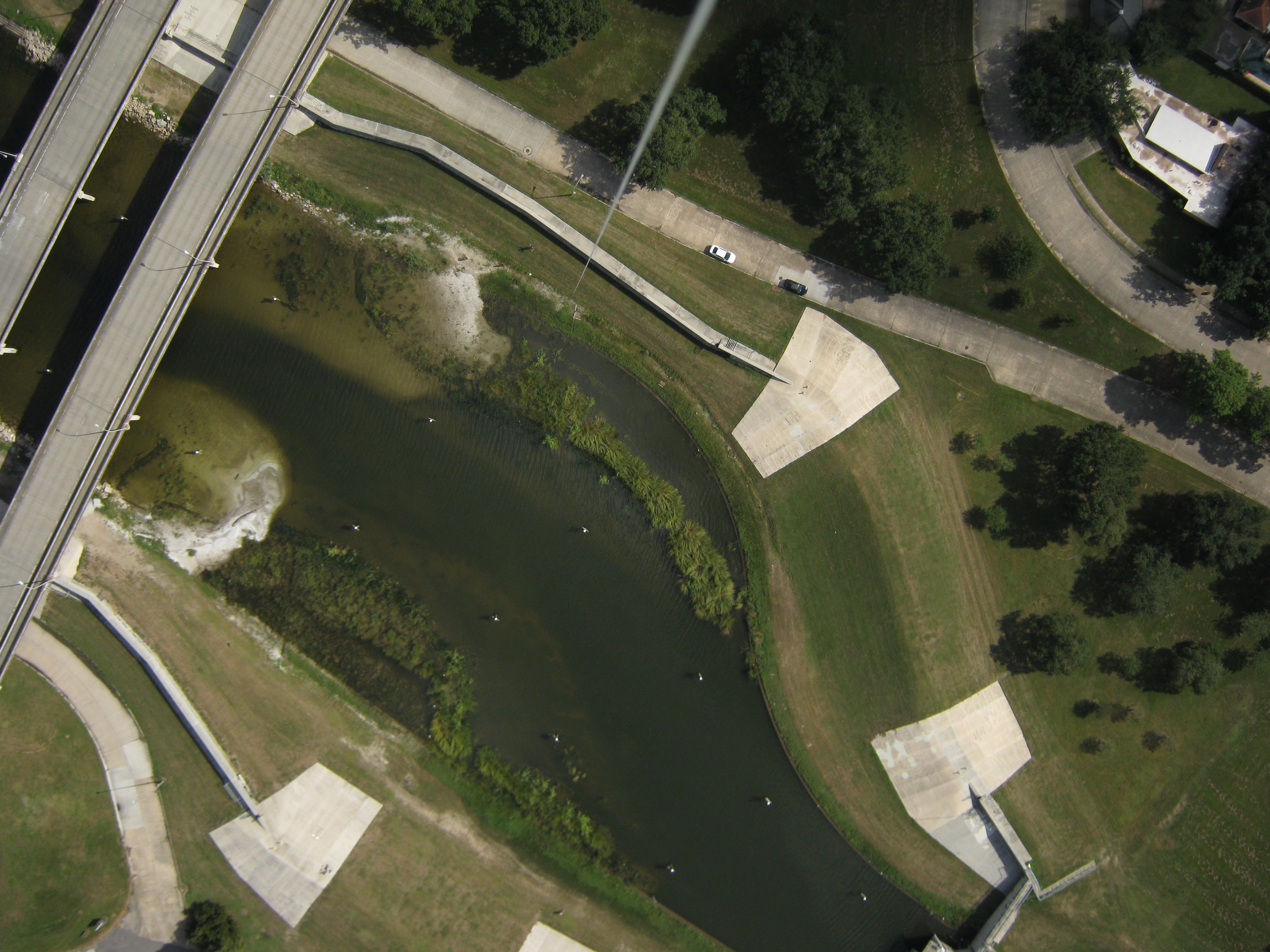
Image: Community mapping of Bayou St. John, New Orleans, LA.
Simple, appropriate technologies for community wetland management
Managing wetlands is easier when communities and organizations can work together with a shared understanding of the science and policy involved. Through the educational, engaging, and empowering activities in this toolkit, community members can learn to more accurately monitor and recommend ways to improve urban wetland projects.
This toolkit has six (6) activities:
- Group goal setting
- Understanding your wetland site
- How to Map
- Stitching images into maps with MapKnitter.org
- Lesson plans for middle and high school students on wetlands remote sensing and management
- After collecting the data, what is next?