Sandbox
| Collected | Type | Mappers | Cartographers |
|---|---|---|---|
| 10/11/14 | Mapknitter Map | Dan Beavers, Dan Henry and Brandi Caro | Joneya Thompson, Catherine Nguyen and Liz Barry |
Welcome to the New Orleans Urban Waters Restoration Mapping Project page. This project was funded in part by the EPA Urban Waters Small Grant Program. This community mapping project aimed to maps eight urban restoration sites around New Orleans. Learn more about the sites and visit the maps made in this project below!
Mapping sites around New Orleans
- Bayou St. John at Lake Pontchartrain
- Bayou St. John Scenic Urban Waterway
- Stormwater Wetlands at City Park
- Bayou Bienvenue Shoreline Restoration
- Bayou Bienvenue Waste Water Treatment Plant
- South Shore Restoration Site
- Louisiana Nature Center
- Wetland Watcher's Park
Bayou St. John at Lake Pontchartrain
Bayou St John is an urban Scenic River and site of post-Katrina saltwater marsh restoration, including many locations of urban shoreline re-vegetation with Scirpus and Spartina species in coordination with the Bayou St John Scenic river restoration plan, the LSU AgCenter, Lake Pontchartrain Basin Foundation, and many community partners. In part due to these improvements, the area is becoming an increasingly popular urban recreation destination. Detailed documentation can encourage continued restoration and maintenance of existing restoration efforts.
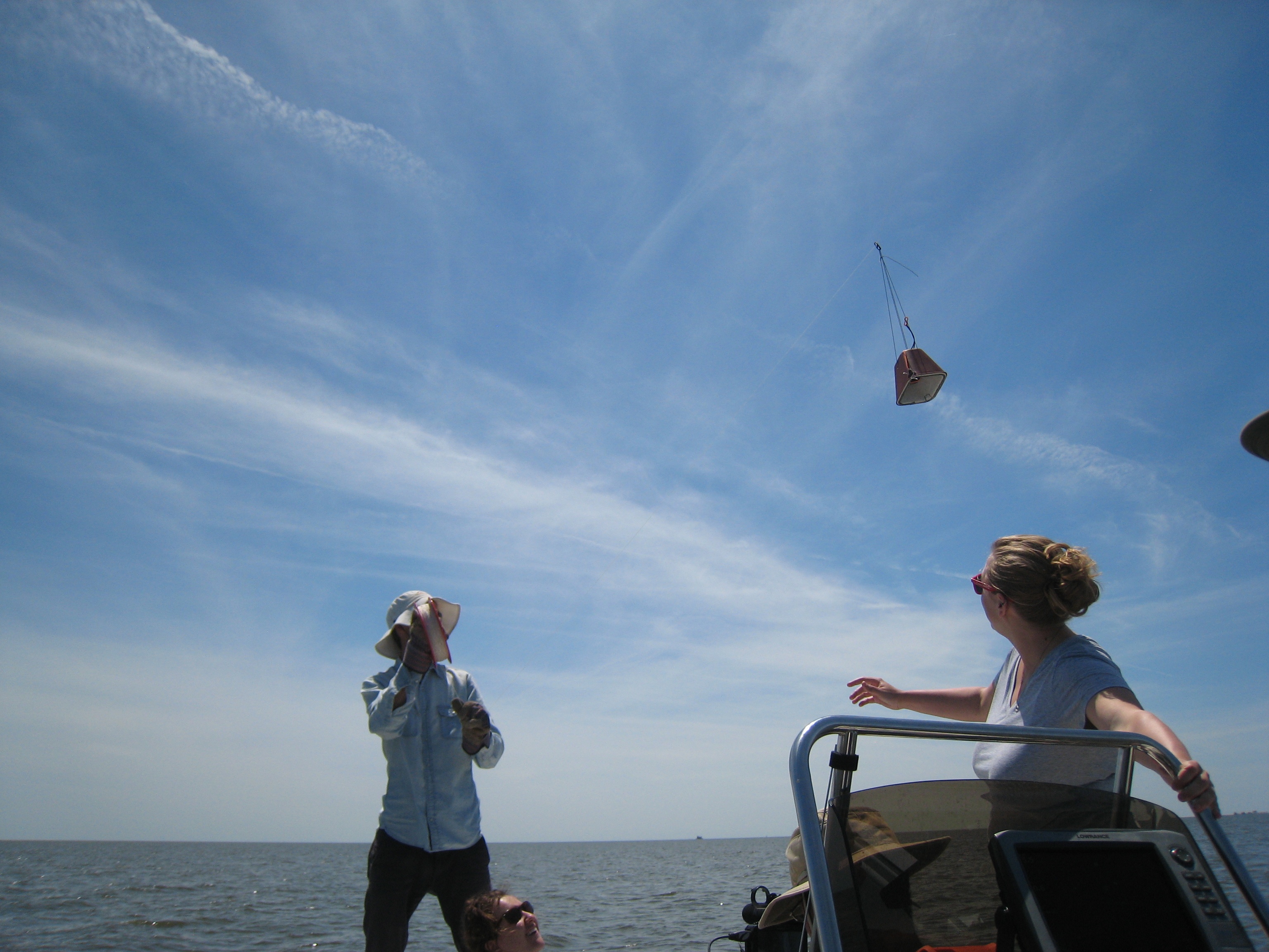
Images Collected: 10/11/14 Type: Mapknitter Map Mappers: Dan Beavers, Dan Henry and Brandi Caro Cartographers: Joneya Thompson, Catherine Nguyen and Liz Barry
Images Collected: 5/30/15 Type: Mapknitter Map Mappers: David Flores, Diana Di Leonardo, Molly Gordon, Stevie Lewis and Harley King Cartographers: Diana Di Leonardo and Liz Barry
Bayou St. John Scenic Urban Waterway
Bayou St John Scenic Urban Waterway is a site of urban shoreline re-vegetation. The site is an increasingly favored location for outdoor recreation of tremendously varied kinds, from dog walking to canoeing and kayaking to fishing, boat races and musical festivals. With high public interest and participation through this project, detailed documentation will encourage the continued restoration and maintenance of restoration efforts.
Images Collected: 11/11/14 Type: Pole Mapping Collage Mappers: Scott Eustis Cartographers: Liz Barry

Images Collected: 1/24/15 Type: Pole Mapping Collage Mappers: Lauren Sullivan, Grace Cagle, Mica, Troy, Diana Di Leonardo, Scott Eustis and Stevie Lewis Cartographers: Liz Barry

Stormwater Wetlands at City Park
Stormwater Wetlands in City Park is a site that embodies many of New Orleans’ urban water issues and goals. The area is subject to much subsidence and ongoing problems from unmanaged stormwater. The "Living with Water" strategy re-envisions water infrastructure as aesthetic, ecological, and geological improvements, and a way to reduce damages from flooding and induced subsidence, and increase property values and quality of life. In an attempt to create a pilot project for the Living with Water scenario, City Park and LSU AgCenter created a stormwater wetland here.
Images Collected: 10/20/14 Type: Mapknitter Map Mappers: Travis Haas, William Byram,Elias James Carrier, Lynda Cortez, Rory Cummings-Dise, Nicholas Dayton, Landry Duchane, Connor Egan,Paul Gale, Morgan-Me'Lyn Grant, Jenna Guidry, Caitlyn Harris, Victoria Hecker, Madison Kerth, James King, Carli Kirtland, Mignon Mauduit, Caleb McKay, Kiersten Moore, Jamie Morris, Connie New, Lindsey Rhodes, Marley Saffrhan, Celine Seiber, Immanuel Simon, Clara Souvignier, Amberly Stuart, Nina Tauriac, Halle Wood, Zenobia Zeno, and Stevie Lewis Cartographers: Stevie Lewis and Liz Barry
Images Collected: 11/20/14 Type: Near Infrared Mapknitter Map Mappers: Travis Haas, William Byram,Elias James Carrier, Lynda Cortez, Rory Cummings-Dise, Nicholas Dayton, Landry Duchane, Connor Egan,Paul Gale, Morgan-Me'Lyn Grant, Jenna Guidry, Caitlyn Harris, Victoria Hecker, Madison Kerth, James King, Carli Kirtland, Mignon Mauduit, Caleb McKay, Kiersten Moore, Jamie Morris, Connie New, Lindsey Rhodes, Marley Saffrhan, Celine Seiber, Immanuel Simon, Clara Souvignier, Amberly Stuart, Nina Tauriac, Halle Wood, Zenobia Zeno, and Stevie Lewis Cartographers: Jack Faust, Meghan Speakman and Liz Barry
Images Collected: 5/30/15 Type: Mapknitter Map Mappers: David Flores, Diana Di Leonardo, Molly Gordon, Stevie Lewis and Harley King Cartographers: Diana Di Leonardo and Liz Barry
Images Collected: 5/30/15 Type: Near Infrared Mapknitter Map Mappers: David Flores, Diana Di Leonardo, Molly Gordon, Stevie Lewis and Harley King Cartographers: David Flores and Liz Barry
Bayou Bienvenue Shoreline Restoration
Bayou Bienvenue Shoreline Restoration site shows the marsh shorelines are an aesthetic and ecological improvement to the armored, rubbled, and/or eroded banklines there were historically in place. Community planting of this rubble shoreline was begun during the government shutdown in 2013, and the bullrush have begun to flourish. There is a great deal of community activity and interest in the site for recreation and educational uses.
Images Collected: 7/10/15 Type: Pole Mapping Collage Mappers: Victoria Gillam, Holly Fraychineaud, Iman Neal, Emily Zielke, Lavan Woodberry, Zury Wilson, Larry Shell, Alicia Neal, Andrew Wilson and Stevie Lewis Cartographers: Liz Barry

Images Collected: 7/10/15 Type: Pole Mapping Collage Mappers: Victoria Gillam, Holly Fraychineaud, Iman Neal, Emily Zielke, Lavan Woodberry, Zury Wilson, Larry Shell, Alicia Neal, Andrew Wilson and Stevie Lewis Cartographers: Liz Barry

Bayou Bienvenue Waste Water Treatment Plant
Bayou Bienvenue/Central Wetlands Treated Biosolids Restoration is a site with a lot of interest! Bayou Bienvenue is an urban, intermediate Bayou and the Bayou Bienvenue wetland triangle (BBWT) is an adjacent former Cypress swamp destroyed by impoundment and saltwater intrusion. Post-Katrina, the site has been subjected to saltwater marsh restoration attempts of many kinds, including created wetlands for biosolids and wastewater treatment, and shoreline re-vegetation with Scirpus and Spartina species, and proposals for additional mechanical fill for hardwood, swamp, and emergent marsh as well as and floating marsh restoration. These various restoration efforts have been done in coordination with Coalition to Restore Coastal Louisiana, Common Ground Wetlands program, LSU AgCenter, Lake Pontchartrain Basin Foundation, National Wildlife Federation, visiting Universities, and many other national and community partners. Due to these improvements and attention, the Bayou is increasingly favored location for outdoor recreation, from fishing to canoeing and kayaking and hunting.
Images Collected: 10/11/14 Type: Near Infrared Mapknitter Map Mappers: Gerald McCollam, Leslie Williams, Molly Gordon and Claire Loudis Cartographers: Molly Gordon and Liz Barry
Images Collected: 7/10/15 Type: Mapknitter Map Mappers: Victoria Gillam, Holly Fraychineaud, Iman Neal, Emily Zielke, Lavan Woodberry, Zury Wilson, Larry Shell, Alicia Neal, Andrew Wilson and Stevie Lewis Cartographers: Stevie Lewis and Liz Barry
South Shore Restoration Site
South Shore Marsh Restoration site includes several dispersed community restoration plantings of Spartina alterniflora done in New Orleans East on the south shore of the oligohaline Lake Pontchartrain. These plantings have persisted through several named coastal storms in 2008 and 2012, and provide habitat for estuarine species along an otherwise neglected urban shoreline. These marshes, while small, have persisted beyond their project life, despite being in a high-energy shoreline line in relatively deep water. The site provides an example of how other armored shorelines in the New Orleans metro area can increase habitat value with relatively small, garden-scale, community-based efforts.
Images Collected: 4/18/15 Type: Pole Mapping Collage Mappers: Dan Beavers, Diana Di Leonardo and Stevie Lewis Cartographers: Liz Barry
Images Collected: 4/18/15 Type: Near Infrared Pole Mapping Collage Mappers: Dan Beavers, Diana Di Leonardo and Stevie Lewis Cartographers: Liz Barry
Louisiana Nature Center
The Louisiana Nature Center is an urban site of post-Katrina cypress forest restoration, which includes invasive tallow control and cypress planting efforts. The wetland site is under considerable drainage of the New Orleans East Polder, but still provides forest canopy for migrating birds. Many hope that this site will flourish as a restored cypress forest. There is a long history of naturalist interest in this site, and a long record of weekly bird counts.
Images Collected: 10/11/14 Type: Near Infrared Mapknitter Map Mappers: Scott Eustis, Tim McLean, Lauren Sullivan and Amy LeGaux Cartographers: Scott Eustis and Liz Barry
Images Collected: 6/9/15 Type: Mapknitter Map Mappers: Molly Gordon and Stevie Lewis Cartographers: Molly Gordon and Liz Barry
Images Collected: 6/9/15 Type: Near Infrared Mapknitter Map Mappers: Molly Gordon and Stevie Lewis Cartographers: Molly Gordon and Liz Barry
Wetland Watchers Park
Wetland Watchers Park is an educational and recreational park reclaimed from the Lake Pontchartrain bottom. It is the site of a reforestation project between the Bonnet Carre Spillway and Bayou LaBranche, as well as historic and recent marsh restoration projects. This swamp and marsh site (formerly a freshwater swamp, with a remnant canopy) is subject to much shoreline erosion and ecological change, as well as freshwater inputs from Bayou LaBranche and the Bonnet Carre Spillway. The park facilities themselves are designed to be flooded, as they were during Hurricane Isaac in 2012. The park is regularly used by New Orleans area grade and high schools for wetland education.
Images Collected: 12/13/14 Type: Mapknitter Map Mappers: Will Veatch, Gerald McCollam, Scott Eustis and Stevie Lewis Cartographers: Alexis Smith, Lauren Alleman and Liz Barry
Images Collected: 7/11/15 Type: Mapknitter Map Mappers: Grace Cagle, Scott Eustis, Miriam Belblidia, Stevie Lewis and Diana Di Leonardo Cartographers: Scott Eustis
Images Collected: 7/11/15 Type: Near Infrared Mapknitter Map Mappers: Grace Cagle, Scott Eustis, Miriam Belblidia, Stevie Lewis and Diana Di Leonardo Cartographers: Liz Barry