Action-Oriented Resources
There are many ways that people can collect data, report and strategize around the frac sand issue. This page will outline some options currently available.
On this page:
Strategizing
Developing a strong strategy around what you can or should do around the frac sand issue will help you identify the best steps moving forward. This section will help you learn about different advocacy strategies best suit the goals of your group.
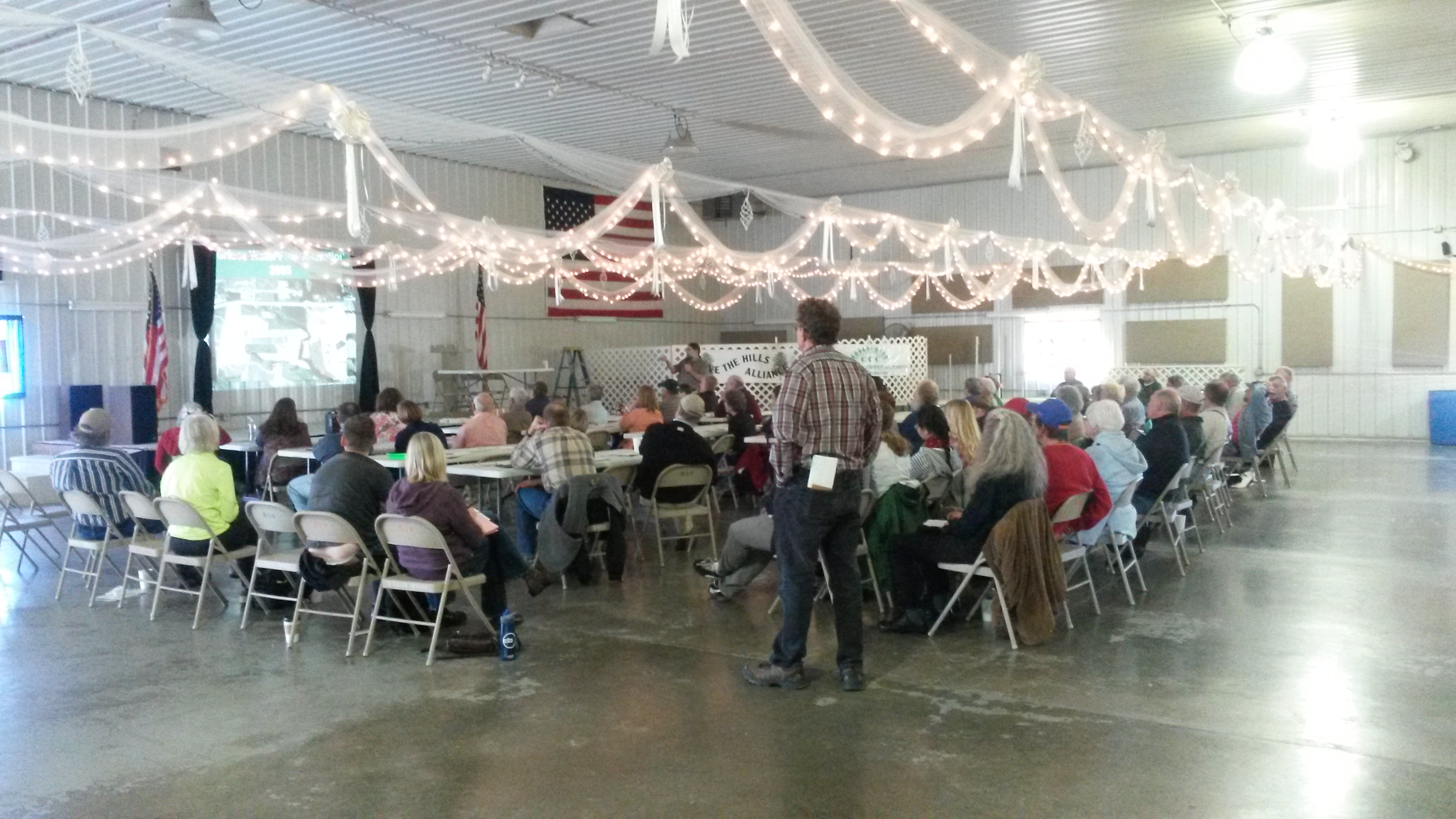
Workshop to Identify Advocacy Pathways
This workshop is built for community groups facing an environmental concern who need to choose an advocacy strategy. The workshop is designed to help groups identify what advocacy pathways are available, most effective, and that best suit their objectives.

The workshop will help to:
- identify what brought everyone together and what the major concerns are,
- discuss what has been done in the past to advocate for the cause,
- explore what advocacy could be done in the future,
- identify the best steps moving forward,
- create a plan to achieve the advocacy strategy.
Start your own Environmental Monitoring Study
This page will help you walk through some of the basic things to keep in mind if you're thinking about starting an environmental monitoring program. The page includes information:
- Determining the Question at Hand
- Researcher Resources
- Geographic Scope
- Types of Samples
- Sampling Methods
- Data Storage
- Interpreting Data
- Data Advocacy

Strategize a media campaign
Using professional media to raise awareness about an environmental issue can be a powerful tool in creating an advocacy strategy. Some advantages of using media are that it can help you to educate people about an environmental problem, make an issue personal by putting faces or personal stories to it, reach out to new and more diverse audiences, leverage or increase credibility on the issue, or identify the need for more resources addressing a problem.
The wiki on Strategize a media campaign will help you decide if engaging the media is something you should do at this point in your advocacy process. The page will help you identify:
- When you should reach out to the media,
- What you should do before you get media involved,
- Crafting your media strategy,
- Who in the media to reach out to,
- Being mis-represented in the media,
- Resources for Community Groups
Monitoring
Dust monitoring
Learn about particulate matter monitoring on the particulate matter wiki. To learn about observing and reporting visible emissions, see the visual pm wiki.
Photographic Monitoring
Aerial Photography and Mapping:

One way to advocate around the physical affects of Frac Sand mining is through aerial photo documentation. This technique has been useful for the Buffalo County Defenders in their arguments for zoning, as well as with the Concerned Chippewa Citizen in getting increased exposure to the visible burden frac sands bring to communities and the environment.
Many groups are choosing to use drones to capture images of the mines. Alternative, low cost options for aerial imaging are also available with balloon and kite mapping. Here is a resource about balloon or kite mapping and also a workshop that walks through the process.
Mapknitter.org can help you piece your photos together to create a map. Here is a workshop that walks through using mapknitter.
Photo Documenting Water Pollution

If you encounter a discolored stream, taking a photograph and calling the county Land Conservation Department can be your first step in advocacy. Enforcement of permit compliance occurs where the problem originates (e.g. the discharge point, not the downstream affected area), so the best people to contact are the Land Conservation Department personnel in the county where the polluting site (e.g. mine or farm) is located. A great list of Land Conservation Departments in Wisconsin counties can be found here: http://wisconsinlandwater.org/about/county-land-conservation, where you can scroll to the “Quick Find” and type in the appropriate county or click “Show All”.
In Wisconsin, it is easier for county officials to respond to mining violations than to agricultural or non-point source pollution exceedences because the funding for enforcement comes from the mining permits. To enforce agricultural and non-point source pollution enforcement, the state/counties are required to provide 70% of the cost of enforcement activity (e.g. building a fence or proper drainage), and since these departments are chronically underfunded, the financial burden becomes a significant obstacle to enforcement. Since counties do not have a cost-share burden with mining permit enforcement, county Land Conservation departments are more apt to respond to mining-related violations.
The most useful photos are ones that clearly document the time, location, and source of the pollution. Be safety conscious and do not trespass on private property. For more information, please refer to the Photographer’s Bill of Rights. Please try to include these elements of good, actionable documentation of surface water turbidity in your photographs: - Date and time-stamps - Identifiable landmark - Views documenting upstream and downstream of the source of turbid waters - Views documenting any confluences, showing the turbid water stream and a non-turbid stream - If there is more than one potential upstream source (e.g. farm and mine), a photo of the stream(s) passing through each land
Be sure to include the following information:
- Date and time:
- GPS Location or Driving Directions:
- Photographers contact information (you may remain anonymous):
- Responsible Party:
- Brief Description:
Reporting

Reporting pollution can be as easy as contacting your local official. Refer to the Photo Documentation section for what information to collect before you call your local official. These include, date, time, location, photographs etc. Below are some compiled resources for Wisconsin state and county contacts.
State Contacts:
- Hotlines for reporting: http://dnr.wi.gov/Contact/TollFree.html
- DNR regional offices: http://dnr.wi.gov/Contact/SSbyRegion.html
- DNR County offices: http://dnr.wi.gov/Contact/SSbyCounty.html
- DNR City offices: http://dnr.wi.gov/Contact/SSbyCity.html
County Contacts:
Wisconsin Land and Water has published a great resource for county contacts who cover issues of land and water. See their Land and Water Directory.