Aerial Imagery in the Public Domain
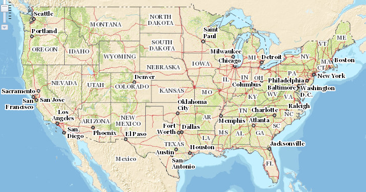
Above image from the National Map Viewer
In this page we will walk through:
1) What available and licensed aerial image data are available to people to use, 2) How to access that data, and 3) What people can and can't do with that data.
Please add to this list!
The National Map
Program Managed by the USGS National Geospatial Program (NGP) and "Allows visualization and download of our most current topographic base map data and products for free." The site includes easy download directions.
Images Available: US Topo, Historical Topographic Maps, and Map Indices. --"Available downloadable data themes are: Elevation, Orthoimagery, Land Cover, Hydrography, Geographic Names, Boundaries, Transportation, Structures, while maps include: US Topo and Historical Topo." Link to viewer here.
Restrictions: None specified
USGS National Aerial Photography Program
Program: This "was coordinated by the USGS as an interagency project to acquire cloud-free aerial photographs at an altitude of 20,000 feet above mean terrain elevation. The photographs were taken with a 6-inch focal length lens at a scale of 1:40,000. Coverage over the conterminous United States includes both black-and-white (BW) and color infrared (CIR) aerial photographs."
Images available: The images in this data set were collected between 1987 and 2007. All the images are available on EarthExplorer
Restrictions Citation and restrictions can be found here: https://lta.cr.usgs.gov/citation
Landsat imagery
These two research notes walk through how to download and analyze landsat imagery by @donblair, @nedhorning and @karenv and and how to determine Landsat 8 overpass times by @nedhorning.
Remote Sensing Data Availability (i.e. AmericaView, European Space Agency, UN Disaster Charter, USGS) https://publiclab.org/wiki/remote-sensing
US Gulf Coast
There are many government and non-profit mapping servers for the Gulf Coast environment since the BP Deepwater Horizon disaster. These reference maps can assist in interpretation of Aerial Photography Gulf Atlas Gulf ERMA Gulf DIVER Ocean Conservancy Gulf Atlas Nature Conservancy --Gulf Projects --Resiliency
Louisiana Coastal Zone Program --SONRIS ("Sunrise" ) (NOAA + LDNR)
Oil and Gas, Coastal Permitting, Restoration and Aerial Photography for the Louisiana Coastal Zone mapping link
Other Notes
- Each state should have a USGS liason whose job it is to answer this and other questions. Here is the contact map for October 2015, and the contact list.