Mapped 6.9.15
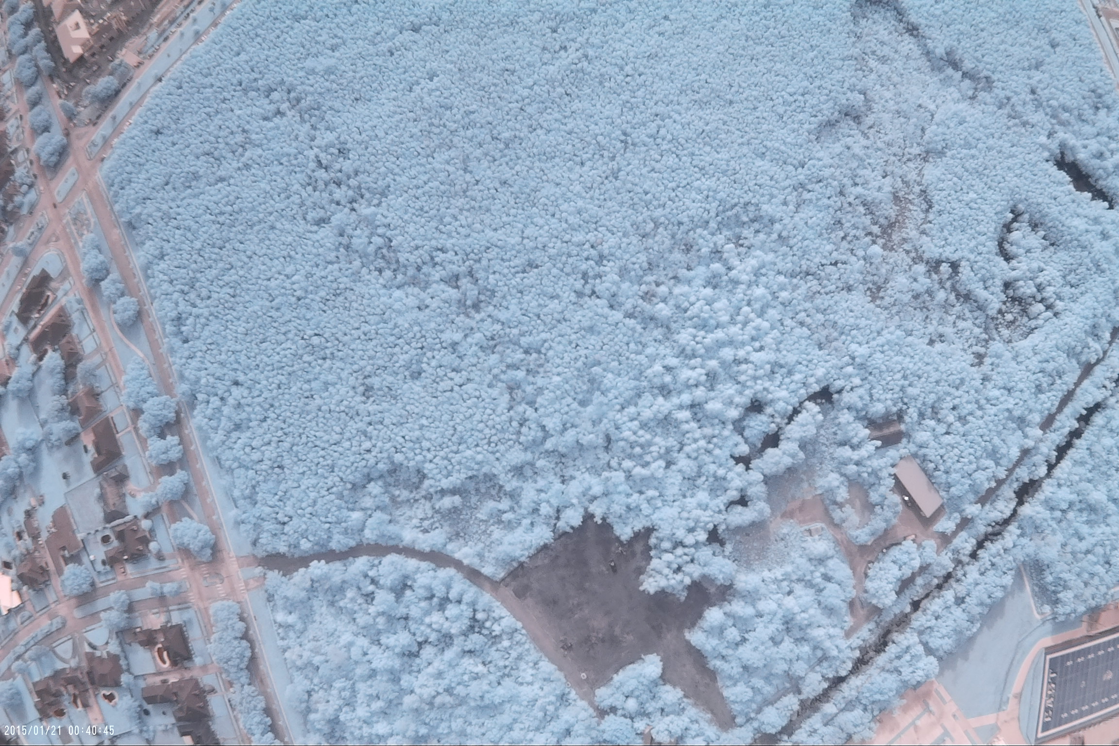
This is an NIR map of the Louisiana Nature Center. The images were captured on 6.9.15 by @mjg2171 and @stevie. These images were collected as part of the Public Lab Urban Waters Project to collect images of eight urban wetland sites around New Orleans. Check out more of the maps on our wiki!
Below are some processed images of this site using Infragram:


1 Comments
How can i view the mapknitter page?
Is this a question? Click here to post it to the Questions page.
Reply to this comment...
Log in to comment
Login to comment.