What I want to do
Demonstrate kite aerial photomapping workflow with participants at 2015 Public Lab Barnraiser. For those who need up to date, high-resolution imagery, this technique is so accessible that it should not be overlooked.
Our attempt and results
After overview with Mathew Lippincott, @mathew, we went outside, launched two kites. Several of us flew large and small Delta kites. Later, Tony and others flew a small soft mini-kite with small Mobius camera. We attached cameras on each kite line, and walked the site to capture photos.
Later, while demonstrating Mapknitter to stitch the images, we encountered problems and showed how to post Github issues. Jeff Warren was able to quickly resolve the issues and we were able to start the visible and infrablue maps, which I continued to work on after the Barnraising.
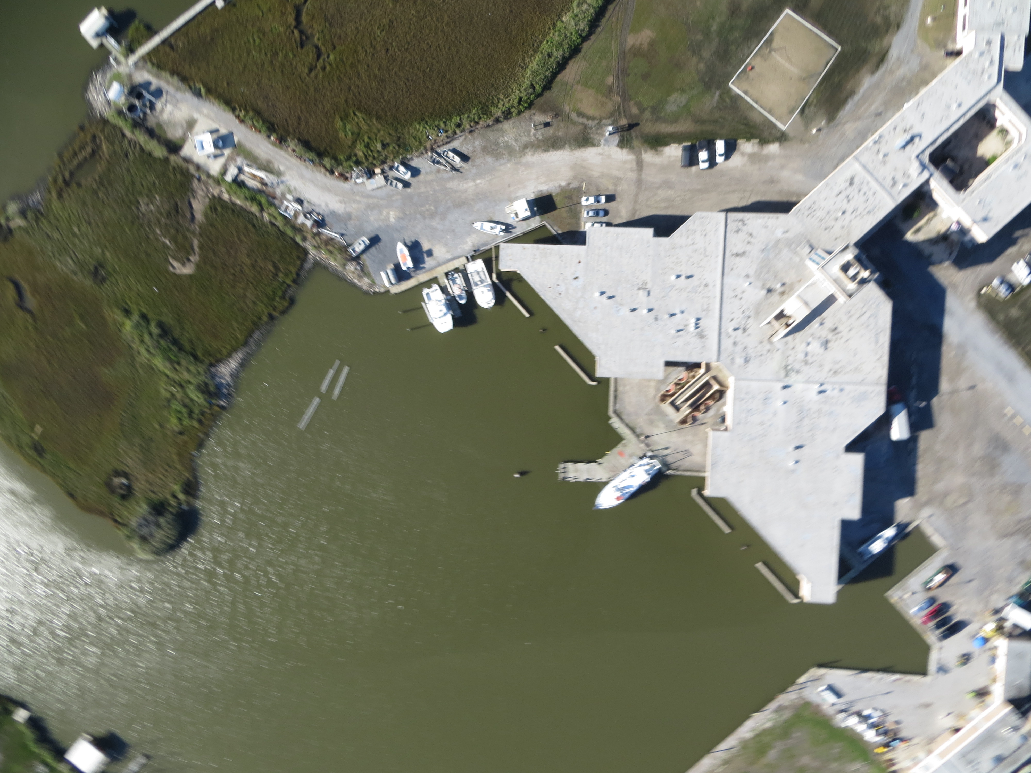
The following map is based on images from a Canon HS 260HS, in a juice-bottle rig, using a Levitation 9-foot Delta. This camera encodes gps data in the images. Mapkniitter's gps autoplace feature used the information to automatically place the images (although rotation, scaling, and some translation adjustment was still required).
https://mapknitter.org/embed/2015-public-lab-barnraiser-visible
Map below is based on images from a Mobius PL PlantCam modified with a non-fish eye lens, in a small juice-bottle rig, using a Prism Stowaway Delta (stows to 18").
https://mapknitter.org/embed/2015-public-lab-barnraiser-infrablue
Participants:


Questions and next steps
Continue to explore where Mobius cameras with non-fish eye lenses and small kites or balloons fit into the tool set and make sense to use. It is worth noting that the Mobius camera rolling shutter and the inherent movement of the camera result in numerous images where linear features are warped or distorted and not optimal, or even useful, for mapping. However, typically a flight results in a sufficient number of relatively undistorted images that are useful.
Why I'm interested
Kite aerial photomapping is a useful technique for those who need up to date, high-resolution imagery. This technique is so accessible that it should not be overlooked.
0 Comments
Login to comment.