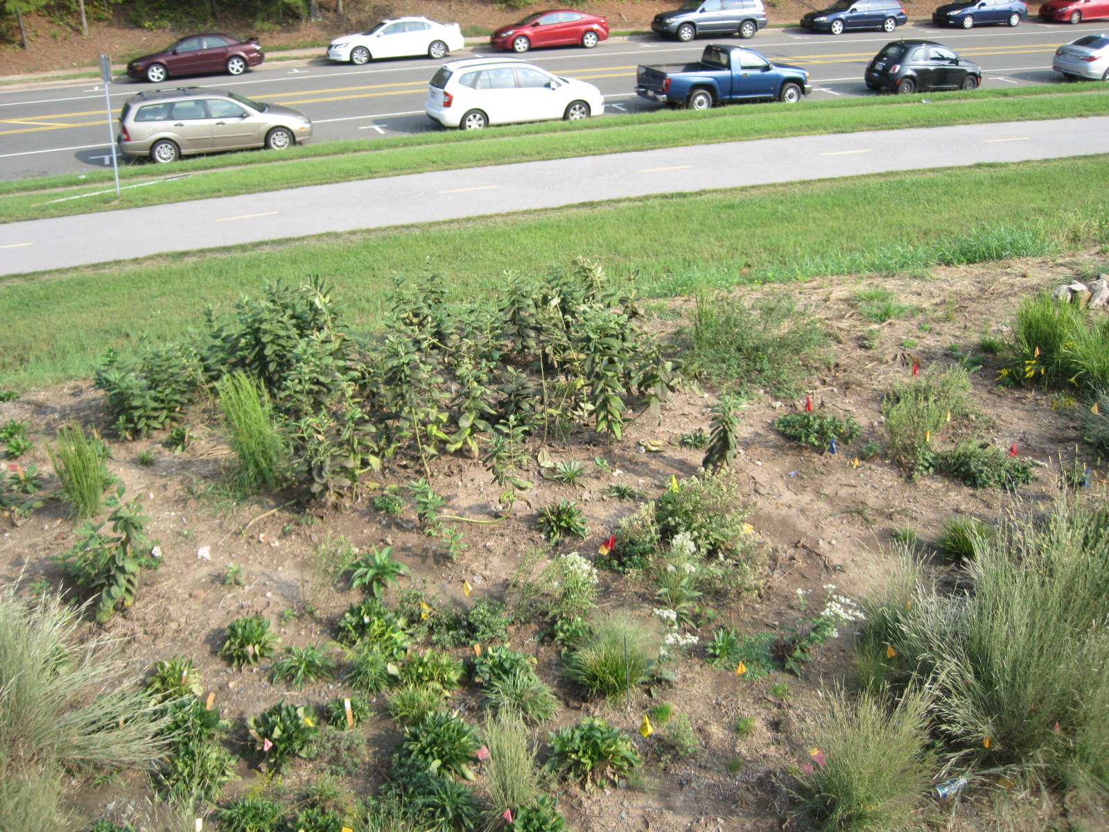
Pole Mapping of Prairie Island Penstemon: Trial Two Difficulties: maintaining consistent angle (resolved with scotch semi-rigid computer wiring), perspective (solution planning with stake placement and practice shots), lighting (later day provided for better lighting except with sun at back, resolved by adjusting flash and aperture), scale (familiarizing with mapping tool) Technique: imaging from two far corners facing downhill Overall Goal: Identify Plant species, monitor growth overtime, emerging species placement Uses: cross reference for ground level survey/ assay techniques
https://mapknitter.org/embed/penstemon-pole-mapping-2
3 Comments
any thoughts on why we can't zoom in more on this map?
Is this a question? Click here to post it to the Questions page.
Reply to this comment...
Log in to comment
I think the reason is that there isn't higher-resolution background data to display. you can download the exported map to look more closely. Thoughts @warren?
Is this a question? Click here to post it to the Questions page.
Reply to this comment...
Log in to comment
Yes, I think that's right. Wasn't there a post about tricks around this that we could repost as an activity guide?
Is this a question? Click here to post it to the Questions page.
Reply to this comment...
Log in to comment
Login to comment.