
What I want to do
Scott and Matt P were hanging out in City Park, because the Bayou St John planting was cancelled. Scott had his car full of Publiclab gear from yesterday's REF planting in the Birdfoot
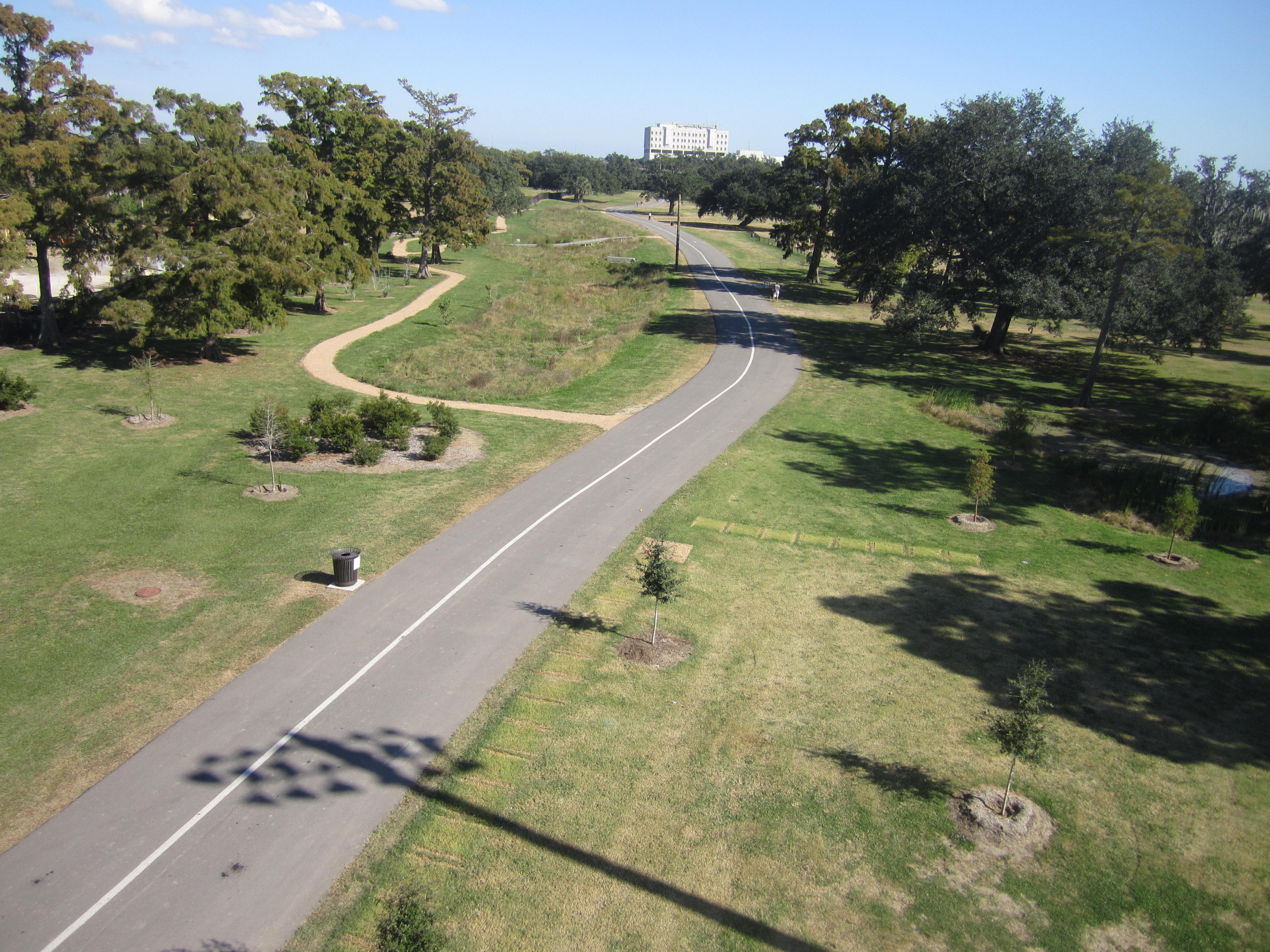
Scott wanted to map the city park stormwater wetland in order to show it on google earth. New Orleans needs to adopt this mehtod of stormwater retention for the sake of its carbon footprint, to slow its subsidence, and to create a more beautilful city in a wetland, so that New Orleanians can never forget that they are precariously surrounded by water, but that is a wonderful thing.
My attempt and results
Kite: 9ft dazzle delta
rig: RC picavet from public lab
camera: canon 1400 pink with knot banded and taped down on continuous fire
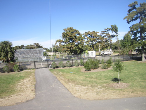
We activated the RC rig to get some nice obliques, but couldn't get the angle of the kite high enough to manuver among the park's gorgeous trees, in order to get a map of the wetland area
had we had more time, we could have "charged" the kite and rig upwards, by running back and forth with the kite, across the soccer field--the way that scott mapped the bayou st john wetland project the other week.
the wind was <5mph, enough to hold the delta aloft, and enough to keep the rig up while we were running, but not enough to get the rig up high enough to avoid collisions with people using the park.
location: 29.992129,-90.090276 (note that this wetland has no plants in current GE photos)
Stormwater Wetland Oblique (click through to original size)
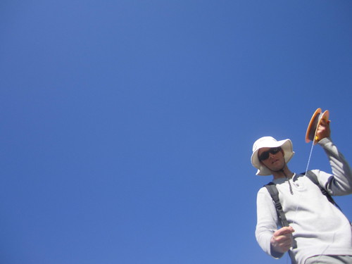
look! i can point it at myself!
glamour shot
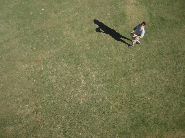
Matt P runs out of runway
Questions and next steps
Scott should write up how to use a runway to lift a big delta kite and rig in low wind.
Matt P was a big fan of getting the carp pole to map this site, instead of a balloon or kite.
flickr link to best shots here:
https://www.flickr.com/photos/eustatic/tags/rckap/
This will not go onto the map list / wiki for Mapknitters.
5 Comments
Interesting low altitude obliques.
Reply to this comment...
Log in to comment
I just completed a balloon flight in Mantoloking NJ where there was a breach through the barrier island last year during Hurricane Sandy. It was a very windy day and I got a lot of unexpected oblique images and I am trying to come up with a way of stitching them together to display. Other than the stills, have you found a way to mosaic and georeference them?
One method I was considering was Microsoft Photosynth (http://photosynth.net/) but haven't had the opportunity to give it a shot yet.
Is this a question? Click here to post it to the Questions page.
Reply to this comment...
Log in to comment
Sean,
the answer is no. in this case, we couldn't get the camera high enough in the amount of time we had, with the amount of wind we had.
obliques we got as a way to salvage the day.
i have thoughts on ways to make obliques work. Those thoughts have a lot to do with Cropping the photo! in areas that will be stretched beyond all hope.
Reply to this comment...
Log in to comment
if you have tips on Photosynth, i encourage you to write a note! i will read it!
Reply to this comment...
Log in to comment
Scott is right that georeferencing obliques is usually not very rewarding. Photosynth can be a solution. You can make a "synth" which aligns the overlapping oblique photos with each other and allows navigation from one photo to the next while displayed in 3D space. The photos are not stitched together, and It is strangely unsatisfying but might have value in some cases. Here is an example with 88 photos with almost half spherical coverage: http://photosynth.net/view.aspx?cid=3f34a7a9-ff25-4c02-8ca5-cc1105022b3c. If the photos will stitch together, for example in ICE, then they can be exported to Photosynth where they can be displayed in a nice spherical viewer. Here is an example of the same site as above (different flight) with 37 photos stitched into a seamless half-spherical panorama: http://photosynth.net/view.aspx?cid=7d9cc3a9-b33e-4050-890d-029f9a725049. That is much more satisfying, but requires lots of photos taken from about the same place and complete coverage with good overlap. Even without complete 360 coverage, stitching overlapping obliques into aerial panoramas for display at Photosynth can be very effective. Here is a panorama from 16 aerial obliques stitched in ICE and exported directly to Photosynth: http://photosynth.net/view.aspx?cid=68d7c1be-0508-4a81-9068-a00f152f80ac. Earlier during that same flight, enough photos were captured to make a half-spherical panorama: http://photosynth.net/view.aspx?cid=1f65dcb9-6c0d-4d84-99e6-ab7569eef21b. So really, this is a lot more fun than taking vertical shots and making flat maps!
Is this a question? Click here to post it to the Questions page.
Reply to this comment...
Log in to comment
Login to comment.