Mapped by capekildare
Cartographer: capekildare
Published by gonzoearth
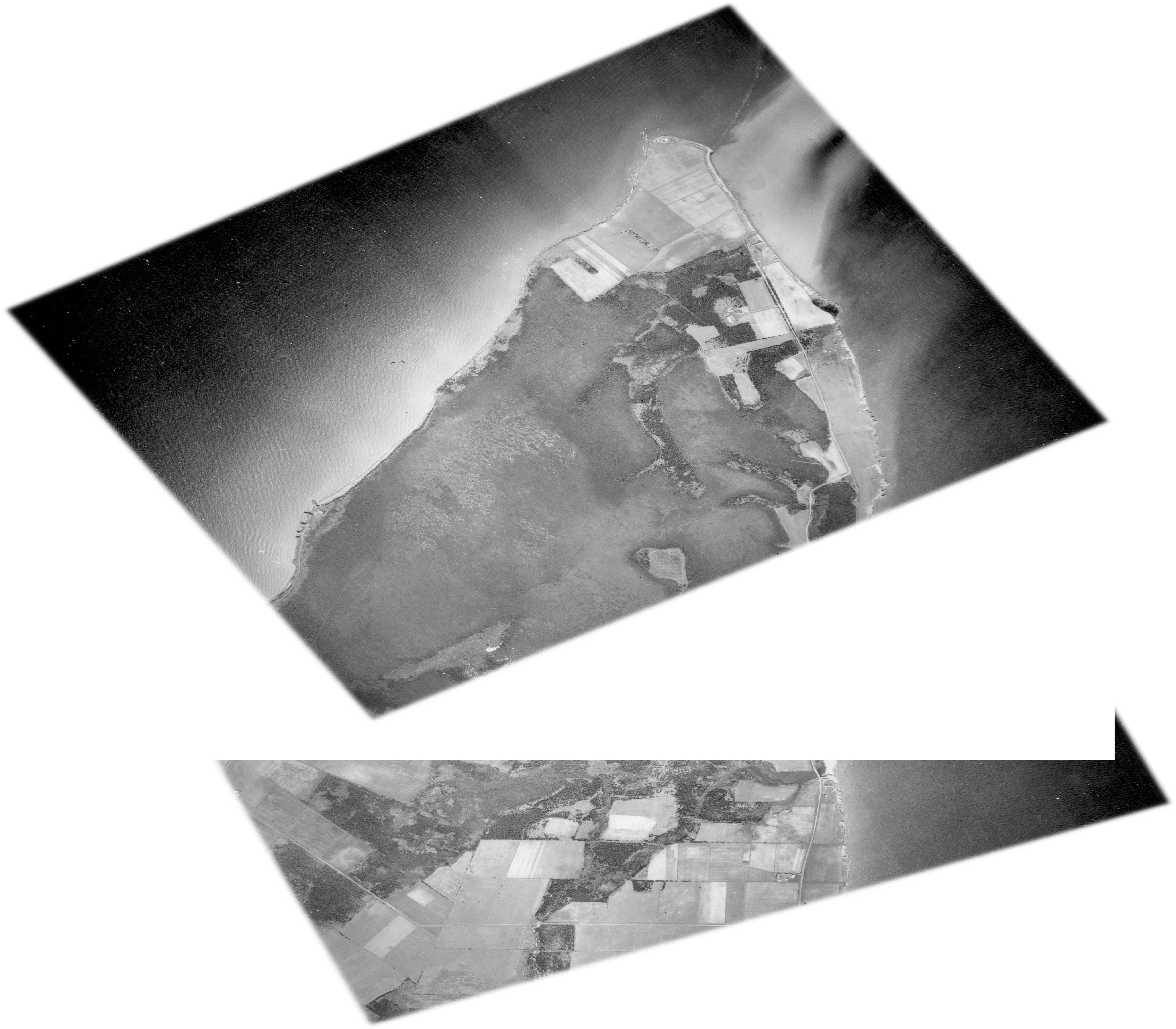
47.041416806495796 N, -64.00103214489197 E
117 views
Ground resolution: 169.0 cm/px
Capture date: 1935-01-01T00:00:00
Publication date: 2013-01-07T00:00:00
License: Public Domain
Mapped by capekildare
Cartographer: capekildare
Published by gonzoearth
47.041416806495796 N, -64.00103214489197 E
85 views
Ground resolution: 169.0 cm/px
Capture date: 1935-01-01T00:00:00
Publication date: 2013-01-07T00:00:00
License: Public Domain
0 Comments
Login to comment.