Jerusalem
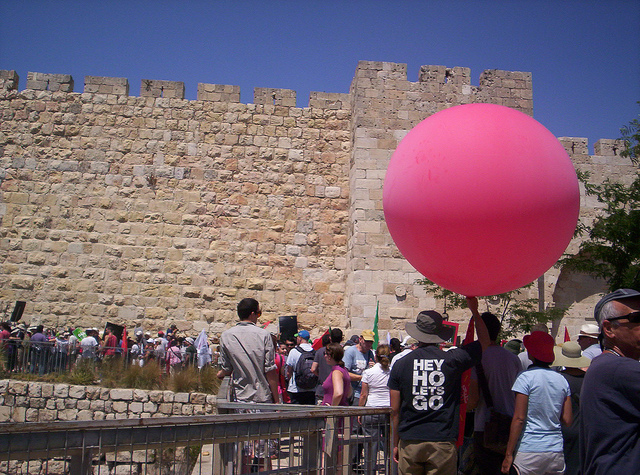
The work in Jerusalem concentrates on collaborative mapmaking techniques for creating independent documentation of the urban environment. It is developing through various partnerships between Public Lab organizers and different groups of inhabitants that are interested in DIY mapmaking for their causes and needs. Below is a list of projects initiated in Jerusalem, organized by date, indicating name of area or neighborhood and a short description.
Silwan
During July-September 2011 the Education-Lab in mamuta.org (Hagit Keysar and Shai Efrati) together with Jeffrey Warren, have conducted workshops of Participatory GIS and Do-It-Yourself aerial photography in Jerusalem, in Silwan, East Jerusalem and Ein Karem, West Jerusalem. Silwan is a strong area of resistance to ethnic discrimination, land and home expropriation and confiscation by the State of Israel, and it is heavily enclosed by police and military forces. We worked with The Wadi Hilweh Information Center who organized a group of children age 10-14 for a DIY aerial photography workshop, aiming to depict the life in the the Wadi Hilweh area of Silwan from children's perpectives. some pictures of the process and outputs:
Ein Karem
This DIY aerial photograph of the Miriam Spring area in Ein Karem was done following a two day kite mapping workshop we conducted, Shai Efrati and myself with Jeffrey Warren of the Public Laboratory, during July 2011, with children from Ein Karem, Jerusalem. More here. Ein Karem in mapknitter
Beit Safafa

DIY aerial photography workshop taking place May 8 2013 in Beit Safafa, a southern Jerusalem Palestinian neighborhood/village.
We met, a group of students from the course "art and activism" (led by the sala-manca group) in Bezalel art academy, and activists from the village, in the protest tent which was created for a joint resistance against the construction of a highway that splits the village/neighborhood in two, severely damaging the inhabitants community life, well-being and quality of life.

Our attempt and results We had an excellent workshop with lots of enthusiasm. We did one long flight with the kite photographing the construction of the road, walking along it. The second flight was done independently by the students and activists, it was their first flight and they did a great job! Unfortunately we had a bad unmount of the memory card from the computer and the second batch of photos was deleted! But we will do another flight soon to restore the photos that were lost. Here is a link to the beginning of the stitched map:
Questions and next steps We hope to work a bit deeper with people from the community which are greatly affected by the road and create another layer of annotation, later to be used for presenting their case in court.