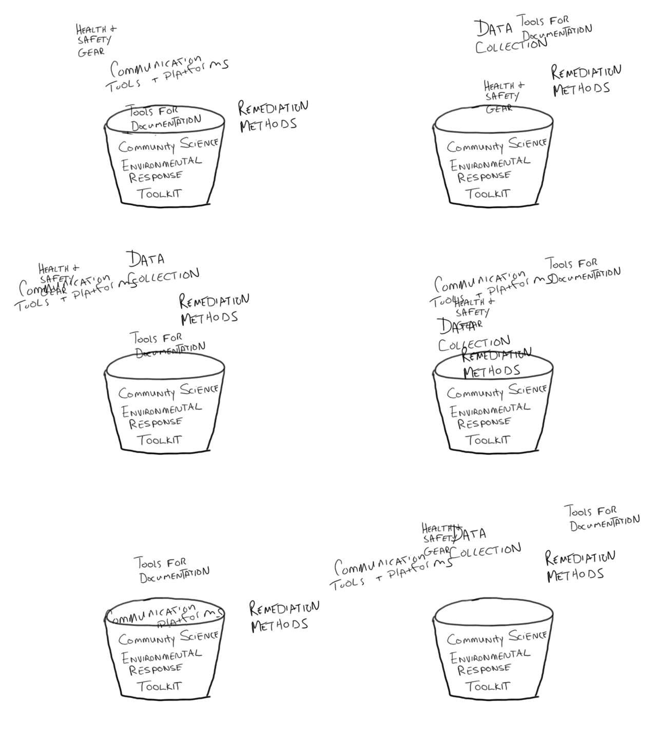
This coming Monday we'll be having an Open Hour call to talk about what we'd want to include in a Community Science Disaster Response Toolkit, and then in February we'll be gathering in Galveston, TX in February to continue exploring ways to identify tools and methods that can be used to gather data about environmental impact before and after an environmental emergency, especially ones related to storms and floods.
Are there things you'd recommend, or want to include in an environmental response emergency kit? Some of the questions we've been thinking about include:
- What are best practices in terms of health and safety in flood and storm events (particularly relating exposure to waterborne contaminants during and after)?
- What kind of real-time data is meaningful to collect? What can wait? What are the most important data collection tools to have on hand (cameras, sensors, chemical tests, etc).
- In terms of remediation/recovery, how do you identify areas for further attention/research?
- If you plan to pursue legal / regulatory enforcement with your findings, are there specific guidelines to be aware of when it comes to documentation, chain of custody, data storage, etc?We'd love to know what other questions we should be asking, and what you think we should drop into this bucket.


There are a number of technical services and data that are readily available, but the question for me is what questions we are looking to answer. As the group organizes, is it the goal to better understand what testing kits should be deployed to specific communities based on potential impacts that might be occurring? Another scenario might be around historically underserved communities and proactively send supplies that may not be deployed in a timely manner.
For the real time/near time data I think are a lot of sources of environmental information that can be brought in identifying the scope of event and potential populations impact. Some examples include:
There are a lot of publicly available datasets presented as static data, a few examples I discovered focused around the Galveston area include:
Beyond these there are the traditional current and historic aerial imagery, topo maps, land use/land cover layers, and jurisdictional boundaries.
I am working to catalog a number of these into a single place and share for a possible future conversation. The questions I ask are:
Is this a question? Click here to post it to the Questions page.
Reply to this comment...
Log in to comment