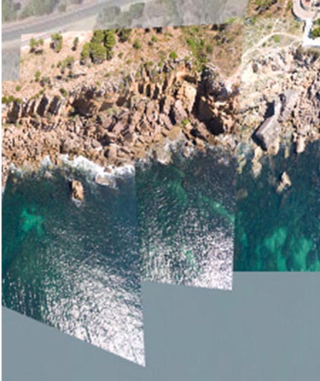
Boundaries are constantly being changed, and the ones we find today may have already been changed tomorrow. In a protected area of the Greater Lisbon area, aerial images are collected in order to build a map with open source software. These are shared through a website that in itself is also a map, allowing for visualizing territories whether economic, ecological or social and trying to see how well a territory / protected area is respected -- "para mais tarde recordar" (for later recall).
Develloped work in Mappknitter: https://mapknitter.org/maps/cai2019
0 Comments
Login to comment.