Mapped by Thorin
Cartographer: Thorin
Published by gonzoearth
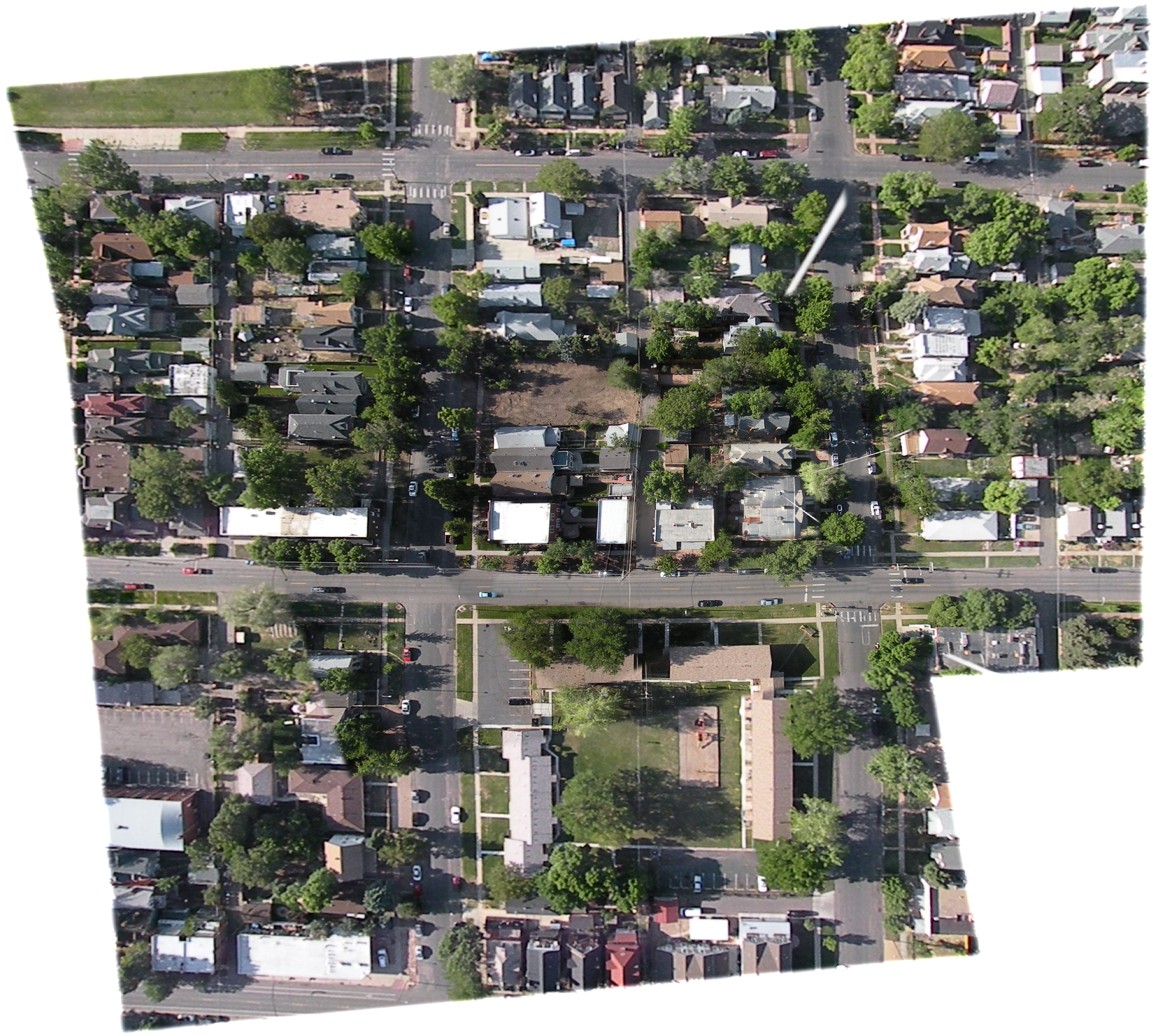
39.7509095850726 N, -104.97043567289109 E
109 views
Ground resolution: 12.0 cm/px
Capture date: 2011-05-14T00:00:00
Publication date: 2012-09-11T00:00:00
License: Public Domain
Mapped by Thorin
Cartographer: Thorin
Published by gonzoearth
39.7509095850726 N, -104.97043567289109 E
69 views
Ground resolution: 12.0 cm/px
Capture date: 2011-05-14T00:00:00
Publication date: 2012-09-11T00:00:00
License: Public Domain
0 Comments
Login to comment.